Transport Functions
Port
Hub Profile
Region
48
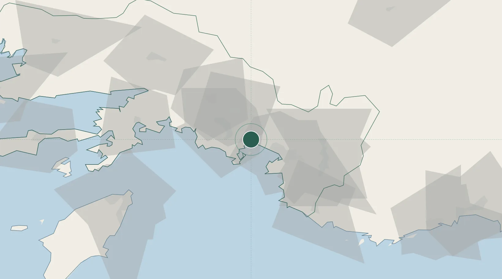
Location
Nearby Logistics Neighbours
Airports
Trade Zones
- 1Denizli Free Zone134 km
- 2Antalya Free Zone149 km
- 3Antalya Organized Industrial Zone154 km
- 4Tire Organized Industrial Zone187 km
- 5Salihli Organized Industrial Zone203 km
DatabookThe Record of Consolidated Knowledge
Türkiye beyond logistics?