Organized Industrial Zone · Türkiye
Antalya Organized Industrial Zone
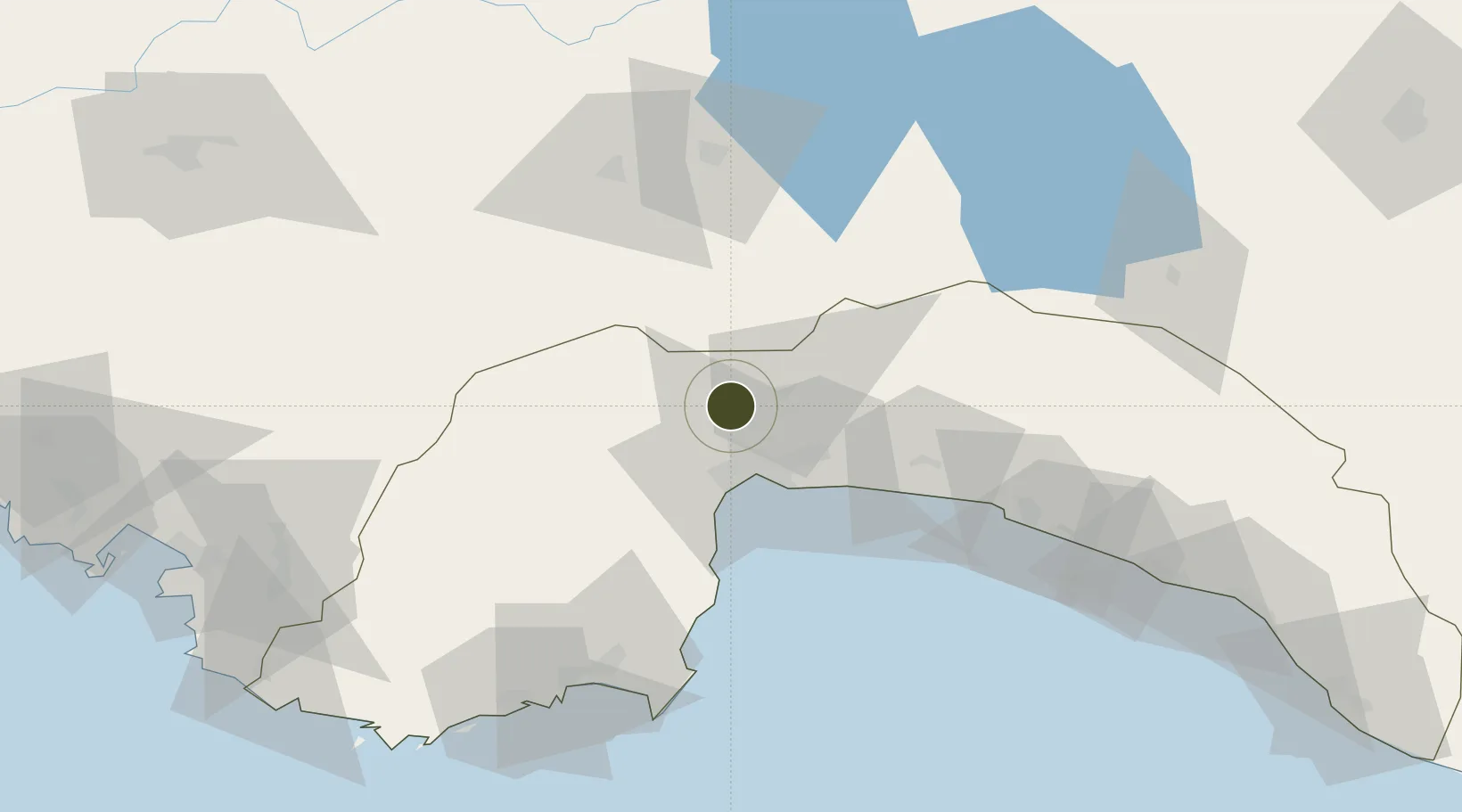
37.0797°, 30.6164°
745 ha
Zone area
27.4 km
Nearest port
25.9 km
Nearest airport
Gateway access
Zone profile
Zone type
Organized Industrial Zone
Region
Antalya
Established
2007
Management
PPP
Operator
Antalya Organized Industrial Zone Administration
Regulatory authority
Ministry of Industry and Trade
Legal framework
Organized Industrial Zones Law
Location
Fiscal & incentives
Corporate tax
20%
Tax relief
30% to 90%, depending on size, location, and sector of investment
Relief duration
Until amount of tax reduction equals 15% to 50% of investment, depending on size, location, and sector of investment
VAT
Excise tax support on goods used in production of electricty to the plants
Import duty (inputs)
0% exempt
Import duty (capex)
100% exempt
Profit repatriation
No exemption
Capital gains
No exemption
Withholding tax
100% exempt from income tax on newly recruited employees
Min. investment
$139K to $278K depending on location of investment
Min. export
0%
Employment incentive
Employer's contribution to insurance premiums are covered by Treasury
Developer incentive
Yes
Nearby Logistics Neighbours
Ports
- 1Antalya27 km
- 2Antalya Offshore Terminal29 km
- 3Alanya137 km
- 4Fethiye144 km
- 5Marmaris209 km
Airports
- 1Antalya International Airport26 km
- 2Süleyman Demirel International Airport89 km
- 3Çardak Airport113 km
- 4Kastelorizo Airport140 km
- 5Dalaman International Airport167 km
Cities
- 1Dosemealti7 km
- 2Antalya27 km
- 3Antalya Free Zone27 km
- 4Kemer56 km
- 5Manavgat82 km
Trade Zones
DatabookThe Record of Consolidated Knowledge
Türkiye beyond logistics?