Channel & Berth Profile
Pilotage, Tugs & Services
Pilotage compulsoryYES
Pilotage availableYES
Tug assistanceYES
Potable waterYES
Diesel bunkersYES
MedicalYES
Garbage disposalYES
Facilities & Capabilities
Container—
Ro-Ro—
Liquid bulk—
Dry bulk—
Oil terminal—
Break bulk—
Dry dock—
Repairs—
BunkeringYES
Rail link—
Dangerous cargo—
ISPS security—
Harbour Specifications
Harbour size
Very Small
Harbour type
Coastal (Breakwater)
Shelter
Poor
Water body
Mediterranean Sea; North Atlantic Ocean
Overhead limit
No
Pilotage
Yes
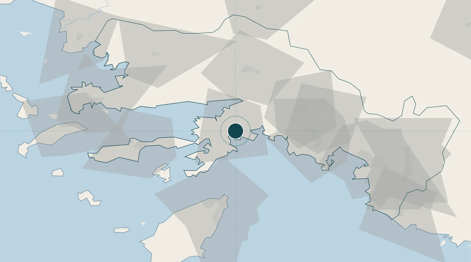
Location
Nearby Logistics Neighbours
Airports
Trade Zones
- 1Tire Organized Industrial Zone150 km
- 2Denizli Free Zone162 km
- 3Salihli Organized Industrial Zone185 km
- 4Aegean Free Zone195 km
- 5Antalya Free Zone207 km
DatabookThe Record of Consolidated Knowledge
Türkiye beyond logistics?