Seaport · Türkiye
AntalyaTRAYT
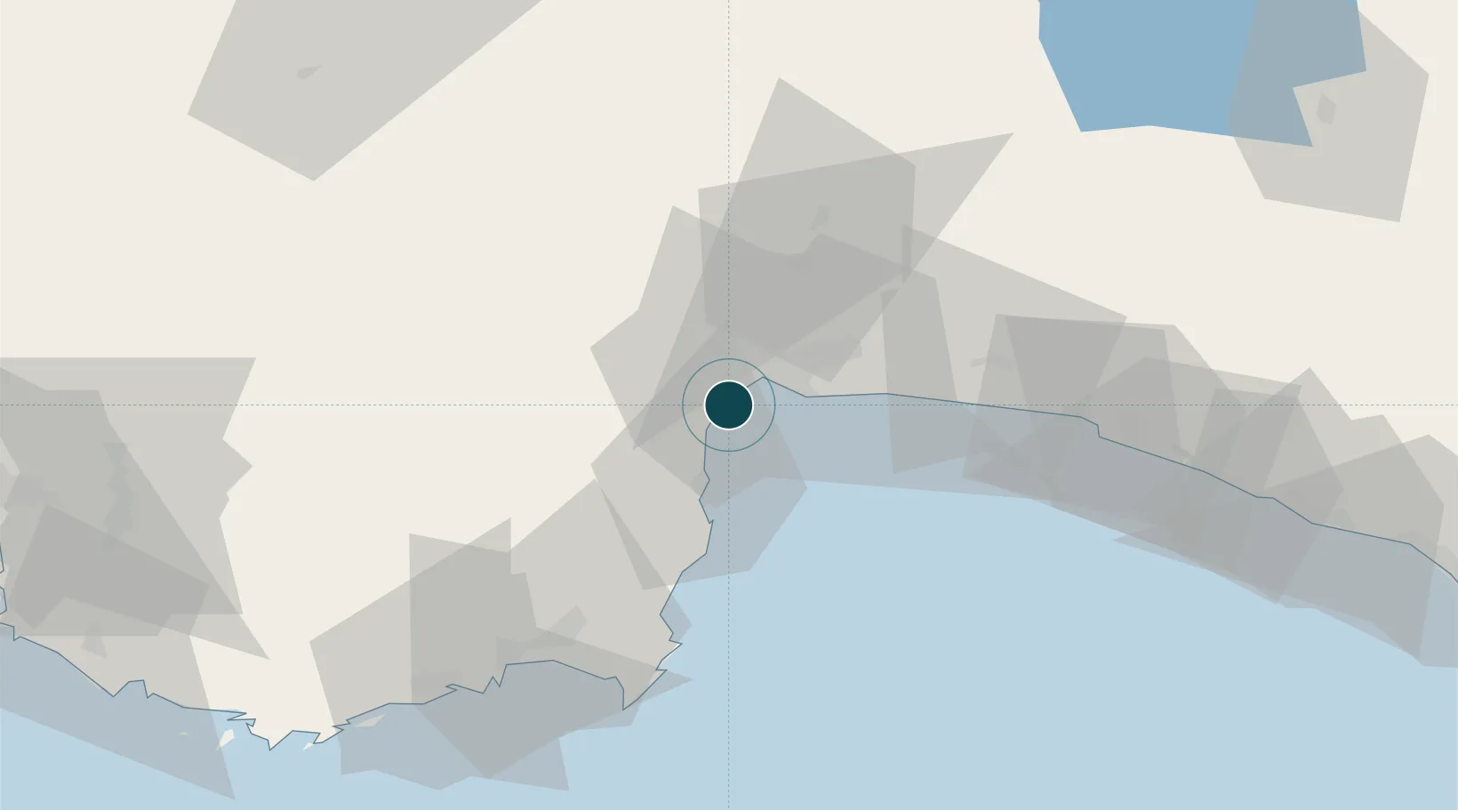
36.8333°, 30.6167°
6.4 m
Channel depth
1
Container terminals
27.2
Port liner connectivity
Channel & Berth Profile
Pilotage, Tugs & Services
Pilotage compulsoryYES
Pilotage availableYES
Tug assistanceYES
Potable waterYES
Diesel bunkersYES
MedicalYES
Garbage disposalYES
Facilities & Capabilities
Container—
Ro-Ro—
Liquid bulk—
Dry bulk—
Oil terminal—
Break bulk—
Dry dock—
RepairsNO
BunkeringYES
Rail link—
Dangerous cargo—
ISPS security—
Harbour Specifications
Harbour size
Small
Harbour type
Coastal (Breakwater)
Shelter
Poor
Water body
Mediterranean Sea; North Atlantic Ocean
Tidal range
1 m
Pilotage
Yes
Liner Connectivity
27.2
PLSCI
Port Liner Shipping Connectivity Index for Antalya, as published by UNCTAD for the latest available quarter. Higher values indicate stronger scheduled liner-shipping integration.
Shown relative to the highest per-port PLSCI in the dataset (1,657.9).
Location
Container Terminals · 1
QTERMINALS ANTALYA
QTRM
Nearby Logistics Neighbours
Ports
- 1Antalya Offshore Terminal2 km
- 2Alanya128 km
- 3Fethiye137 km
- 4Marmaris208 km
- 5Rodhos217 km
Cities
- 1Antalya Free Zone2 km
- 2Dosemealti20 km
- 3Kemer28 km
- 4Manavgat75 km
- 5Finike75 km
Airports
- 1Antalya International Airport18 km
- 2Süleyman Demirel International Airport116 km
- 3Kastelorizo Airport121 km
- 4Çardak Airport133 km
- 5Gazipaşa-Alanya Airport162 km
Trade Zones
DatabookThe Record of Consolidated Knowledge
Türkiye beyond logistics?