UN/LOCODE hub · Türkiye
TREAL

Dosemealti

37.0167°, 30.6000°
2
Transport functions

Transport Functions

Road
Multimodal
UN/LOCODE

Hub Profile

Region
07
GeoNames

Location

Location of TREAL
Natural Earth 10m (public domain) · 07 · TREAL · 37.02, 30.60GoogleOSMYandex

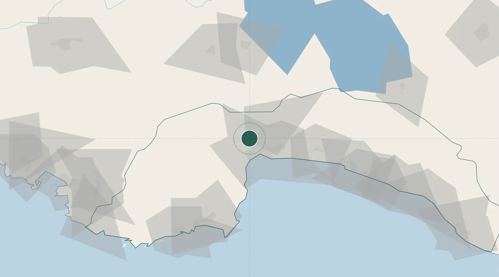
Nearby Logistics Neighbours

Cities
  1. 1Antalya20 km
  2. 2Antalya Free Zone20 km
  3. 3Kemer48 km
  4. 4Manavgat81 km
  5. 5Finike92 km
Nearest neighbours — logibook spatial index (haversine) over the source coordinates
Ports
  1. 1Antalya20 km
  2. 2Antalya Offshore Terminal22 km
  3. 3Alanya136 km
  4. 4Fethiye140 km
  5. 5Marmaris207 km
Nearest neighbours — logibook spatial index (haversine) over the source coordinates
Airports
  1. 1Antalya International Airport22 km
  2. 2Süleyman Demirel International Airport96 km
  3. 3Çardak Airport117 km
  4. 4Kastelorizo Airport134 km
  5. 5Dalaman International Airport164 km
Nearest neighbours — logibook spatial index (haversine) over the source coordinates
Trade Zones
  1. 1Antalya Organized Industrial Zone7 km
  2. 2Antalya Free Zone19 km
  3. 3Denizli Free Zone120 km
  4. 4Afyonkarahisar Organized Industrial Zone198 km
  5. 5Usak Deri (Karma) Organized Industrial Zone204 km
Nearest neighbours — logibook spatial index (haversine) over the source coordinates
DatabookThe Record of Consolidated Knowledge
Türkiye beyond logistics?
Browse databook

All Sources

LocationsUN/LOCODE
UN/LOCODE — free
Portsthe NGA World Port Index
Public domain (US gov)
AirportsOurAirports
Public domain
Trade Zonesthe World Bank SEZ database
CC BY 4.0
Trade ZonesOpen Zone Map
CC BY
← Türkiye locations