UN/LOCODE hub · Malaysia
MYPEN

Penang (Georgetown)

5.4532°, 100.3679°
2
Transport functions
1
Container terminals

Transport Functions

Port
Airport
Penang (Georgetown) is also a profiled seaport →
UN/LOCODE

Hub Profile

Region
07
GeoNames
Logistics facilities
36
UN/LOCODE
Container terminals
1
UN/LOCODE

Location

Location of MYPEN
Natural Earth 10m (public domain) · 07 · MYPEN · 5.45, 100.37GoogleOSMYandex

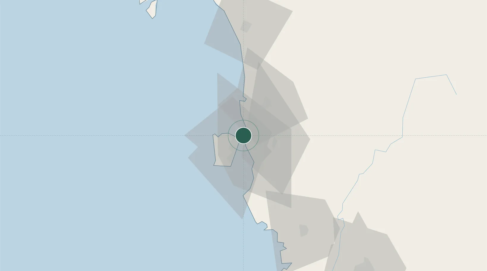
Nearby Logistics Neighbours

Cities
  1. 1Butterworth5 km
  2. 2George Town6 km
  3. 3Pulau Tikus6 km
  4. 4Perai8 km
  5. 5Jelutong8 km
Nearest neighbours — logibook spatial index (haversine) over the source coordinates
Ports
  1. 1Port Langkawi128 km
  2. 2Lumut139 km
  3. 3Teluk Anson175 km
  4. 4Pattani196 km
  5. 5Songkhla Harbor198 km
Nearest neighbours — logibook spatial index (haversine) over the source coordinates
Airports
  1. 1RMAF Butterworth Air Base3 km
  2. 2Penang International Airport20 km
  3. 3Sultan Abdul Halim Airport82 km
  4. 4Betong International Airport94 km
  5. 5Langkawi International Airport120 km
Nearest neighbours — logibook spatial index (haversine) over the source coordinates
Trade Zones
  1. 1Butterworth Free Commercial Zone7 km
  2. 2Bayan Lepas Free Zone18 km
  3. 3Bayan Lepas Free Commercial Zone19 km
  4. 4Perai Free Industrial Zone19 km
  5. 5Second Air Cargo Complex (Kkuk) Free Zone Penang20 km
Nearest neighbours — logibook spatial index (haversine) over the source coordinates
DatabookThe Record of Consolidated Knowledge
Malaysia beyond logistics?
Browse databook

All Sources

LocationsUN/LOCODE
UN/LOCODE — free
Portsthe NGA World Port Index
Public domain (US gov)
AirportsOurAirports
Public domain
Trade Zonesthe World Bank SEZ database
CC BY 4.0
Trade ZonesOpen Zone Map
CC BY
← Malaysia locations