Diversified Zone · South Korea
Sochon Industrial Complex Active
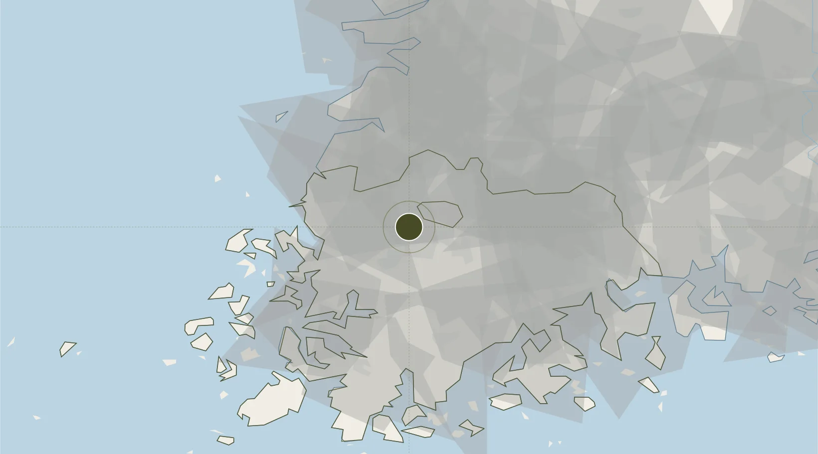
35.1525°, 126.7907°
18 ha
Zone area
55.3 km
Nearest port
3.5 km
Nearest airport
Gateway access
Zone profile
Zone type
Diversified Zone
Region
South Jeolla
Status
Active
Management
Public
Operator
Sochon Industrial Complex Management Council
Legal framework
Special Act On Designation And Management Of Free Economic Zones Expand Act No. 15309, Dec. 26, 2017, Foreign Investment Promotion Act: Expand Act No. 16131, Dec. 31, 2018.
Location
Nearby Logistics Neighbours
Ports
- 1Mokpo55 km
- 2Gwangyang Hang92 km
- 3Kunsan94 km
- 4Masan162 km
- 5Chinae169 km
Airports
- 1Gwangju Airport4 km
- 2Muan International Airport41 km
- 3Yeosu Airport83 km
- 4Gunsan Airport / Gunsan Air Base85 km
- 5Sacheon Airport / Sacheon Air Base117 km
Cities
- 1Gwangju2 km
- 2Jangseong/Jangseong-gun16 km
- 3Naju17 km
- 4Hwasun-gun21 km
- 5Muan-gun25 km
DatabookThe Record of Consolidated Knowledge
South Korea beyond logistics?