Channel & Berth Profile
Pilotage, Tugs & Services
Pilotage compulsoryYES
Pilotage availableYES
Pilotage advisableYES
Tug assistanceYES
Potable waterYES
Diesel bunkersYES
MedicalYES
Garbage disposalYES
Facilities & Capabilities
Container—
Ro-Ro—
Liquid bulkYES
Dry bulk—
Oil terminalYES
Break bulk—
Dry dock—
RepairsNO
BunkeringYES
Rail link—
Dangerous cargo—
ISPS securityYES
Harbour Specifications
Harbour size
Medium
Harbour type
Open Roadstead
Shelter
Poor
Water body
Caribbean Sea; North Atlantic Ocean
Tidal range
1 m
Overhead limit
No
Pilotage
Yes
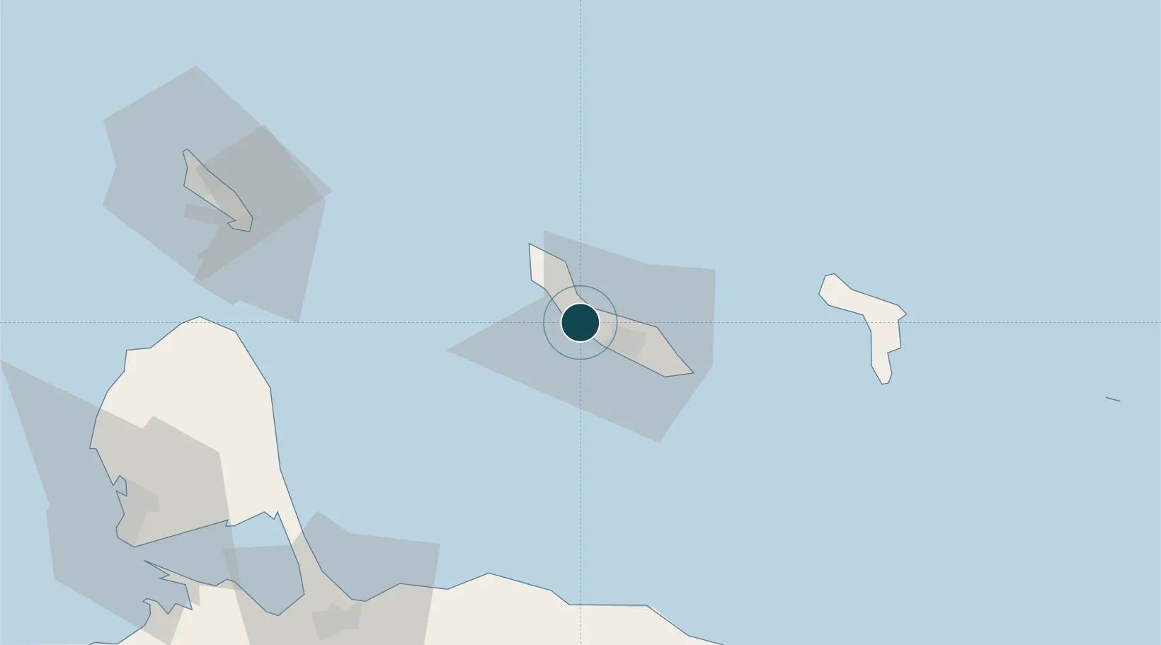
Location
Nearby Logistics Neighbours
Ports
- 1Sint Michelsbaai6 km
- 2Willemstad13 km
- 3Caracasbaai22 km
- 4Goto Oil Terminal71 km
- 5Kralendijk82 km
Cities
- 1Curaçao4 km
- 2Grote Berg5 km
- 3Sint Michielsbaai7 km
- 4Suffisant Dorp13 km
- 5Willemstad16 km
Airports
Trade Zones
- 1Curaçao Airport Free Economic Zone8 km
- 2Harbor Free Zone Curaçao15 km
- 3Industrial Park Brievengat17 km
- 4Barcadera Free Zone109 km
- 5Paraguana SEZ112 km
DatabookThe Record of Consolidated Knowledge
Curaçao beyond logistics?