Transport Functions
Multimodal
Hub Profile
Place type
Populated place
Region
Falcón
Time zone
America/Caracas
Elevation
87 m
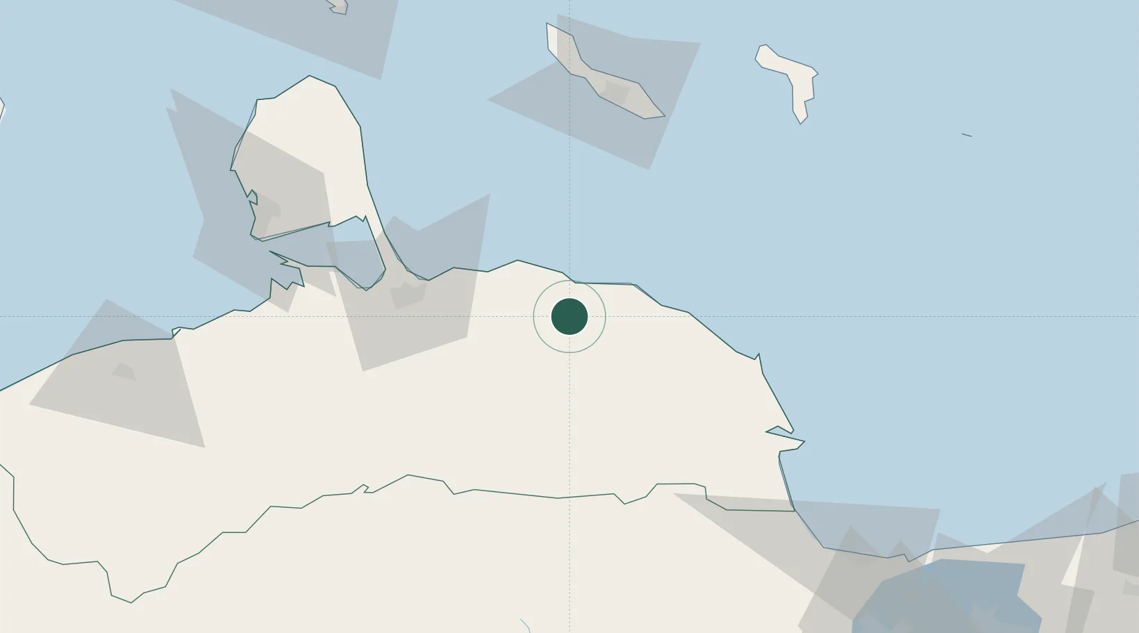
Location
Nearby Logistics Neighbours
Cities
- 1Puerto Cumarebo34 km
- 2Fuikbaai85 km
- 3Caracas Baai85 km
- 4Willemstad87 km
- 5Dominguito88 km
Ports
- 1Puerto Cumarebo34 km
- 2Caracasbaai85 km
- 3Willemstad89 km
- 4Sint Michelsbaai89 km
- 5Bullen Baai95 km
Airports
Trade Zones
DatabookThe Record of Consolidated Knowledge
Venezuela beyond logistics?