Transport Functions
Port
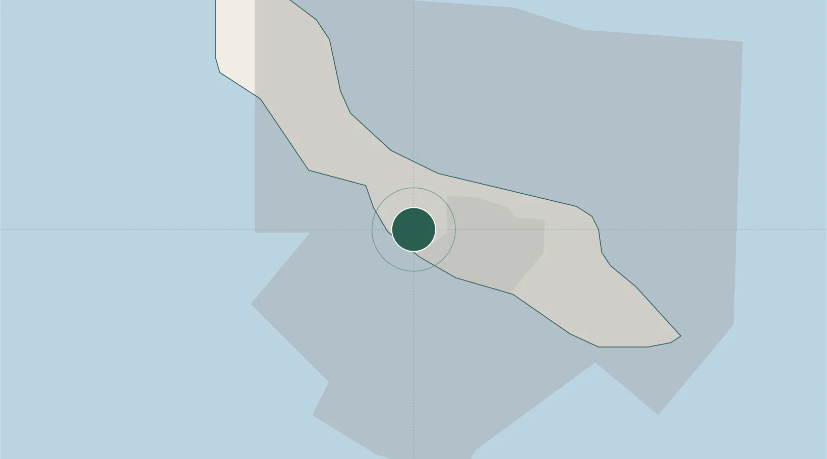
Location
Nearby Logistics Neighbours
Cities
- 1Bullenbaai3 km
- 2Curaçao3 km
- 3Grote Berg4 km
- 4Suffisant Dorp7 km
- 5Willemstad9 km
Ports
- 1Bullen Baai7 km
- 2Willemstad7 km
- 3Caracasbaai16 km
- 4Goto Oil Terminal66 km
- 5Kralendijk76 km
Airports
Trade Zones
- 1Curaçao Airport Free Economic Zone5 km
- 2Harbor Free Zone Curaçao9 km
- 3Industrial Park Brievengat11 km
- 4Paraguana SEZ116 km
- 5Barcadera Free Zone116 km
DatabookThe Record of Consolidated Knowledge
Curaçao beyond logistics?