Transport Functions
Port
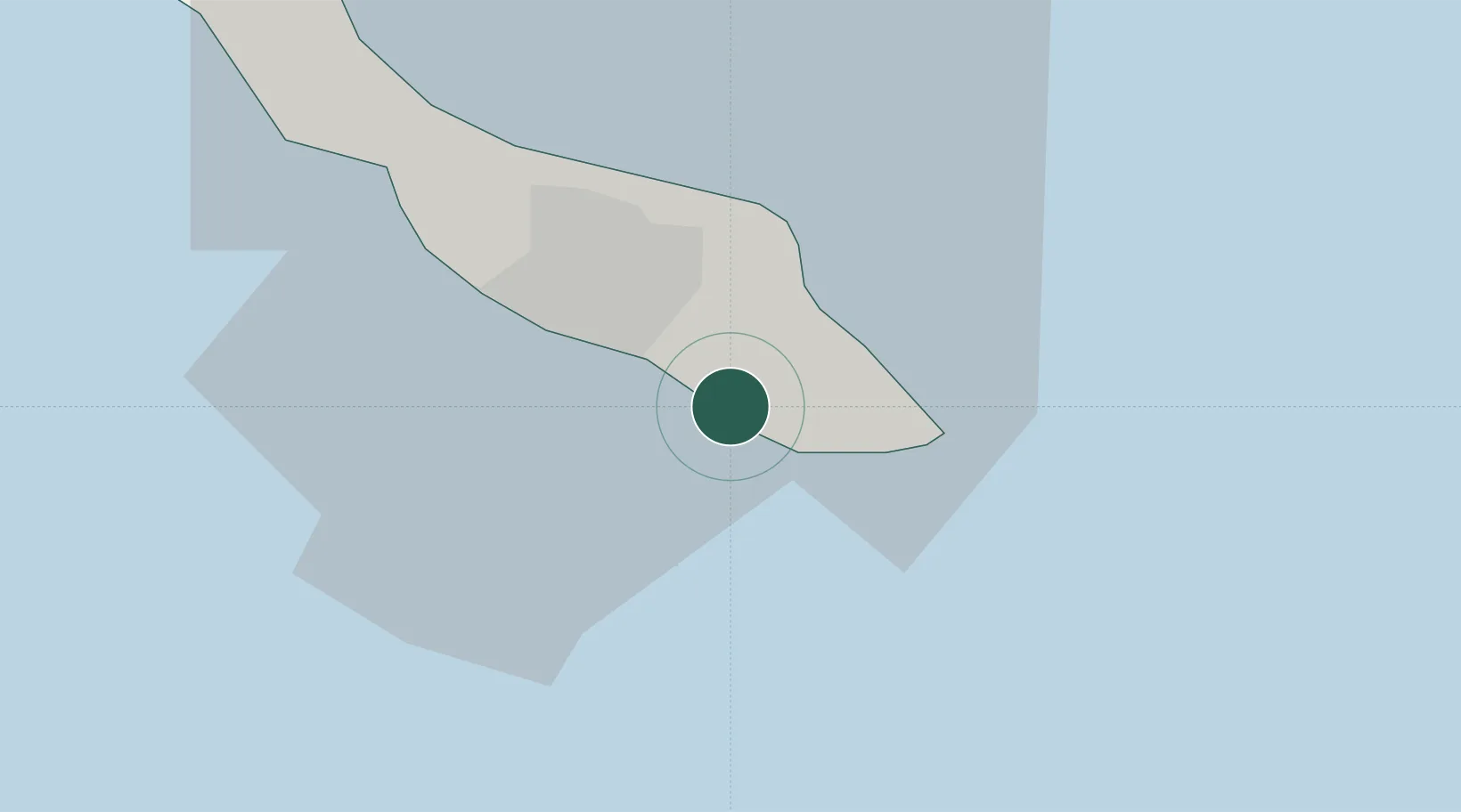
Location
Nearby Logistics Neighbours
Cities
- 1Fuikbaai4 km
- 2Dominguito7 km
- 3Zeelandia8 km
- 4Willemstad8 km
- 5Suffisant Dorp12 km
Ports
- 1Willemstad11 km
- 2Sint Michelsbaai20 km
- 3Bullen Baai24 km
- 4Goto Oil Terminal53 km
- 5Salina62 km
Airports
Trade Zones
- 1Harbor Free Zone Curaçao10 km
- 2Industrial Park Brievengat11 km
- 3Curaçao Airport Free Economic Zone18 km
- 4Paraguana SEZ127 km
- 5Barcadera Free Zone133 km
DatabookThe Record of Consolidated Knowledge
Curaçao beyond logistics?