Medium airport · Venezuela

Escuela Mariscal Sucre AirportSVBS
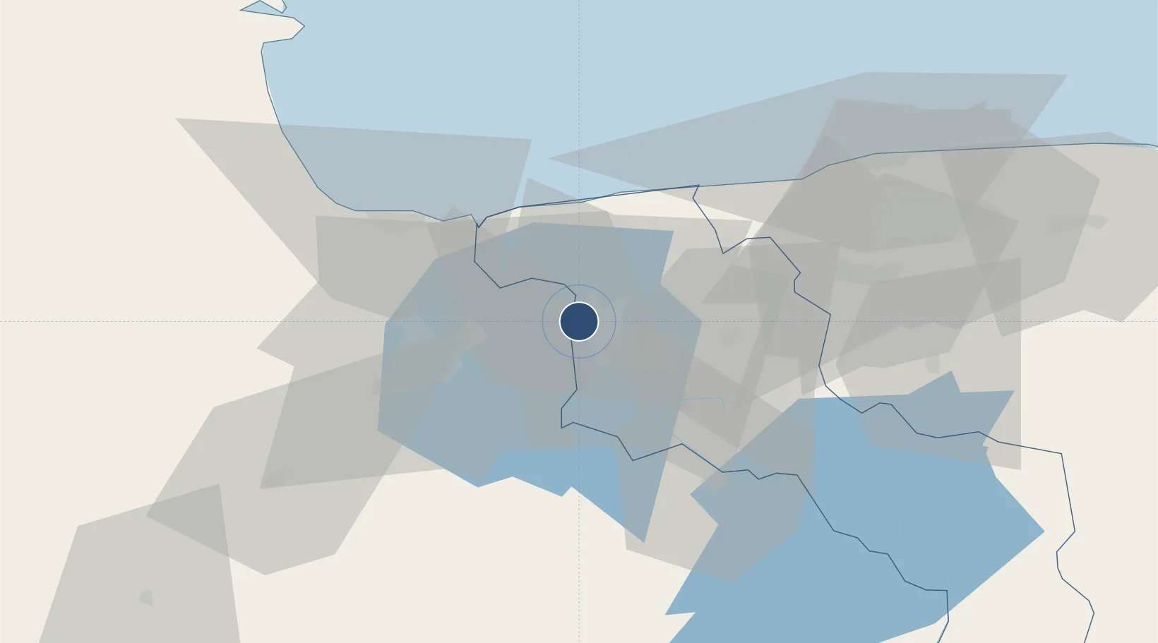
10.2500°, -67.6494°
6,846 ft
Longest runway
2
Runways
1,338 ft
Elevation

Runway & Layout

Escuela Mariscal Sucre Airport runway & taxiway layout
Runway & taxiway layout — OpenStreetMap (ODbL) / OurAirports

Radio Frequencies

ATIS
127.6 MHz
TWR
118.05 MHz
GND
121.7 MHz
RDO
32.2 MHz
SUCRE RDO
OurAirports

Runways · 2

RunwayDimensions SurfaceTrue headingLit
11/29 6,846 × 131ft Asphalt 104°
06/24 4,453 × 131ft Asphalt 051°
OurAirports

Airport Specifications

IATA code
MYC
OurAirports
ICAO code
SVBS
OurAirports
Airport class
Medium airport
OurAirports
Scheduled service
No
OurAirports
Runway surface
Asphalt
OurAirports
Served city
Maracay
OurAirports

Location

Location of SVBS
Natural Earth 10m (public domain) · Aragua · SVBS · 10.25, -67.65GoogleOSMYandex

Nearby Logistics Neighbours

Airports
  1. 1El Libertador Airbase13 km
  2. 2Arturo Michelena International Airport33 km
  3. 3San Juan de Los Morros Airport48 km
  4. 4General Bartolome Salom International Airport53 km
  5. 5Maiquetía Simón Bolívar International Airport82 km
Nearest neighbours — logibook spatial index (haversine) over the source coordinates
Cities
  1. 1San Diego31 km
  2. 2Los Guayos32 km
  3. 3El Consejo42 km
  4. 4Puerto Cabello48 km
  5. 5Morón66 km
Nearest neighbours — logibook spatial index (haversine) over the source coordinates
Ports
  1. 1Puerto Borburata45 km
  2. 2Puerto Cabello46 km
  3. 3El Palito57 km
  4. 4Catia La Mar79 km
  5. 5La Guaira88 km
Nearest neighbours — logibook spatial index (haversine) over the source coordinates
Trade Zones
  1. 1Morón Puerto Cabello Special Economic Zone70 km
  2. 2Guarenas-Guatire Special Economic Zone119 km
  3. 3Harbor Free Zone Curaçao248 km
  4. 4Industrial Park Brievengat251 km
  5. 5Curaçao Airport Free Economic Zone259 km
Nearest neighbours — logibook spatial index (haversine) over the source coordinates
DatabookThe Record of Consolidated Knowledge
Venezuela beyond logistics?
Browse databook

All Sources

AirportsOurAirports
Public domain
Portsthe NGA World Port Index
Public domain (US gov)
LocationsUN/LOCODE
UN/LOCODE — free
Trade Zonesthe World Bank SEZ database
CC BY 4.0
Trade ZonesOpen Zone Map
CC BY
InfrastructureOpenStreetMap
ODbL 1.0
← Venezuela airports