Transport Functions
Port
Rail
Road
Multimodal
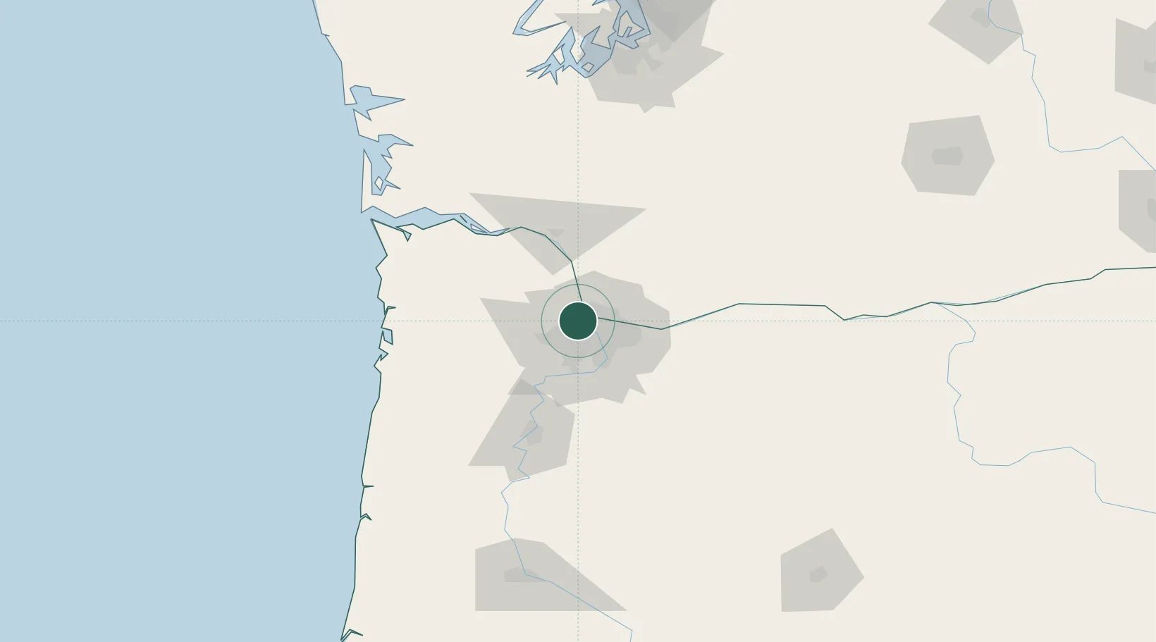
Hub Profile
Place type
Populated place
Region
Georgia
Time zone
America/New_York
Elevation
277 m
Location
Nearby Logistics Neighbours
Cities
- 1Linnton2 km
- 2Vancouver9 km
- 3Portland16 km
- 4Ridgefield21 km
- 5Warren23 km
Airports
Trade Zones
- 1FTZ No. 296 Vancouver7 km
- 2FTZ No. 045 Portland9 km
- 3FTZ No. 255 Washington County50 km
- 4FTZ No. 120 Cowlitz County59 km
- 5FTZ No. 216 Olympia159 km
DatabookThe Record of Consolidated Knowledge
United States beyond logistics?