UN/LOCODE hub · United States
USVAN
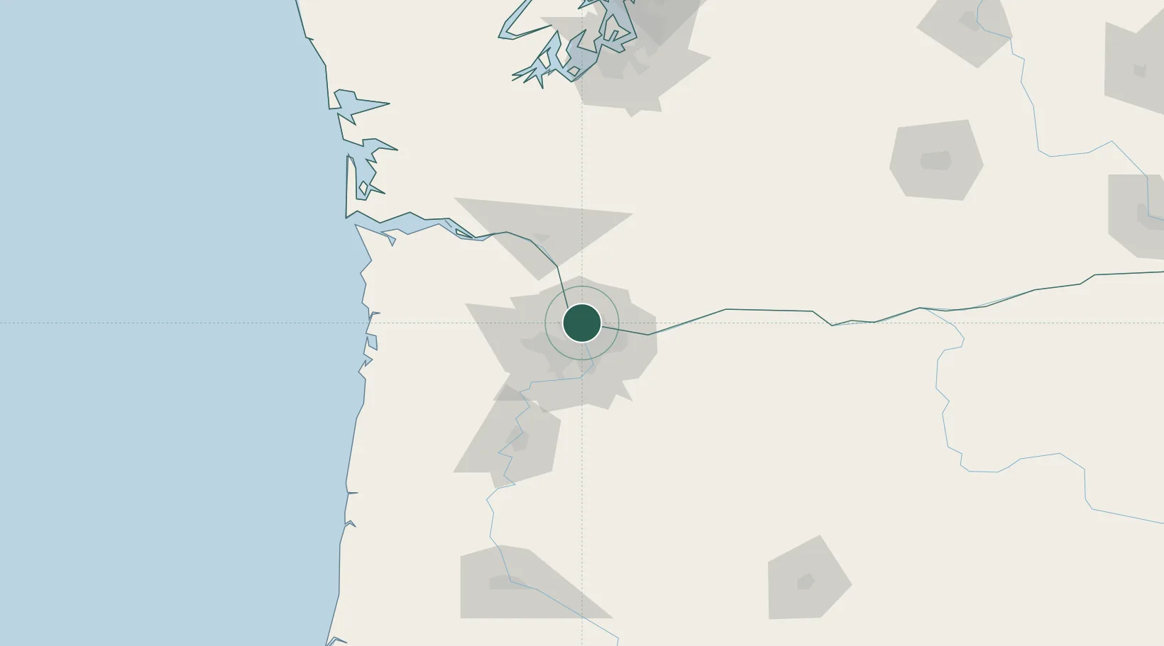
Vancouver
45.6380°, -122.6579°
196,442
Population
2
Transport functions
Transport Functions
Port
Road
Hub Profile
Place type
Provincial seat
Region
Washington
Population
196,442
Time zone
America/Los_Angeles
Elevation
52 m
Logistics facilities
4
Location
Nearby Logistics Neighbours
Cities
- 1Rivergate9 km
- 2Portland10 km
- 3Linnton11 km
- 4Ridgefield19 km
- 5Warren25 km
Airports
Trade Zones
- 1FTZ No. 296 Vancouver2 km
- 2FTZ No. 045 Portland15 km
- 3FTZ No. 255 Washington County58 km
- 4FTZ No. 120 Cowlitz County60 km
- 5FTZ No. 216 Olympia157 km
DatabookThe Record of Consolidated Knowledge
United States beyond logistics?