UN/LOCODE hub · United States
USPDX
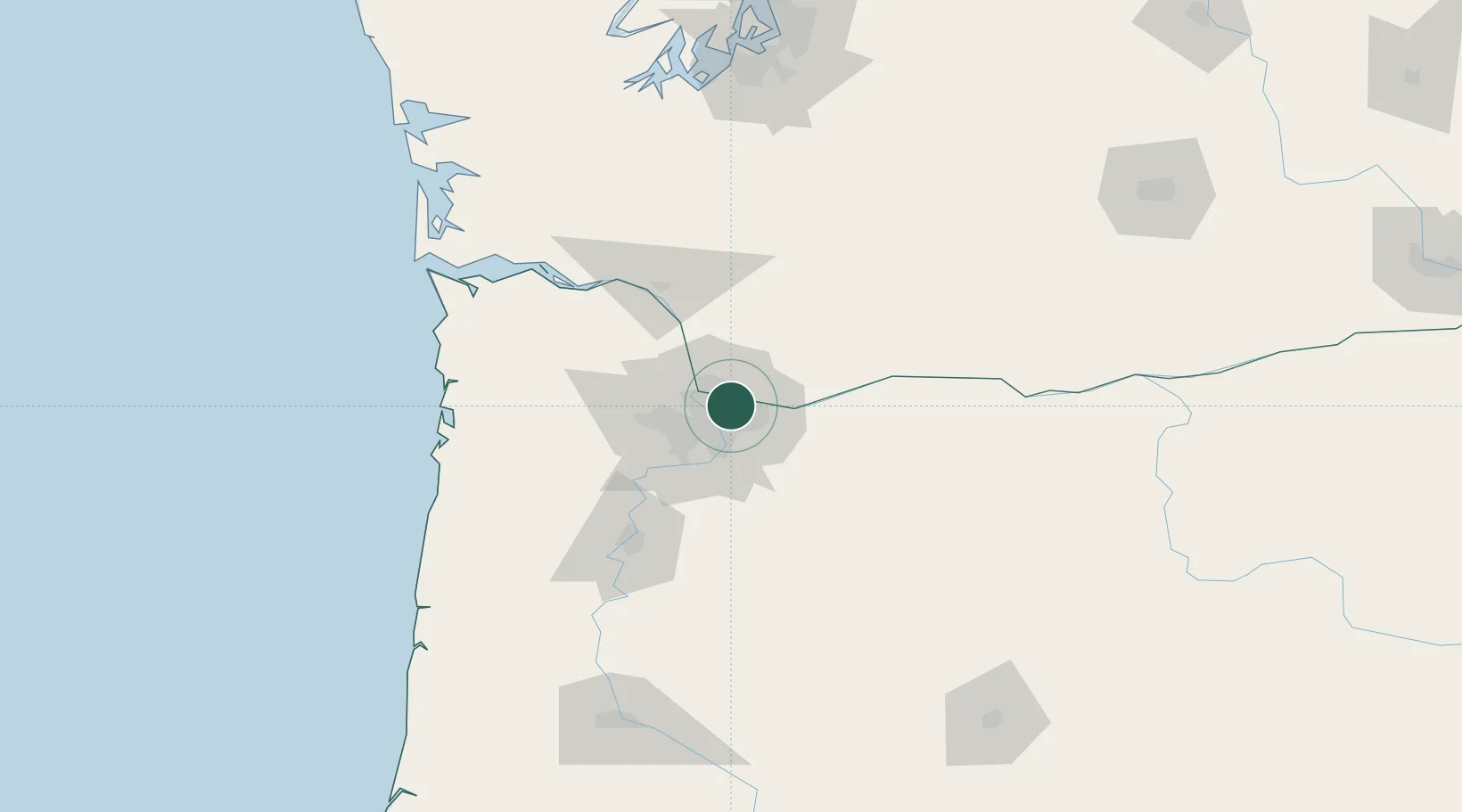
Portland
45.5789°, -122.5650°
652,503
Population
2
Transport functions
1
Container terminals
Transport Functions
Port
Airport
Hub Profile
Place type
Provincial seat
Region
Oregon
Population
652,503
Time zone
America/Los_Angeles
Elevation
12 m
Logistics facilities
36
Container terminals
1
Location
Nearby Logistics Neighbours
Cities
- 1Vancouver10 km
- 2Rivergate16 km
- 3Linnton17 km
- 4Ridgefield28 km
- 5Eagle Creek31 km
Airports
Trade Zones
- 1FTZ No. 296 Vancouver12 km
- 2FTZ No. 045 Portland18 km
- 3FTZ No. 255 Washington County65 km
- 4FTZ No. 120 Cowlitz County69 km
- 5FTZ No. 216 Olympia165 km
DatabookThe Record of Consolidated Knowledge
United States beyond logistics?