Transport Functions
Port
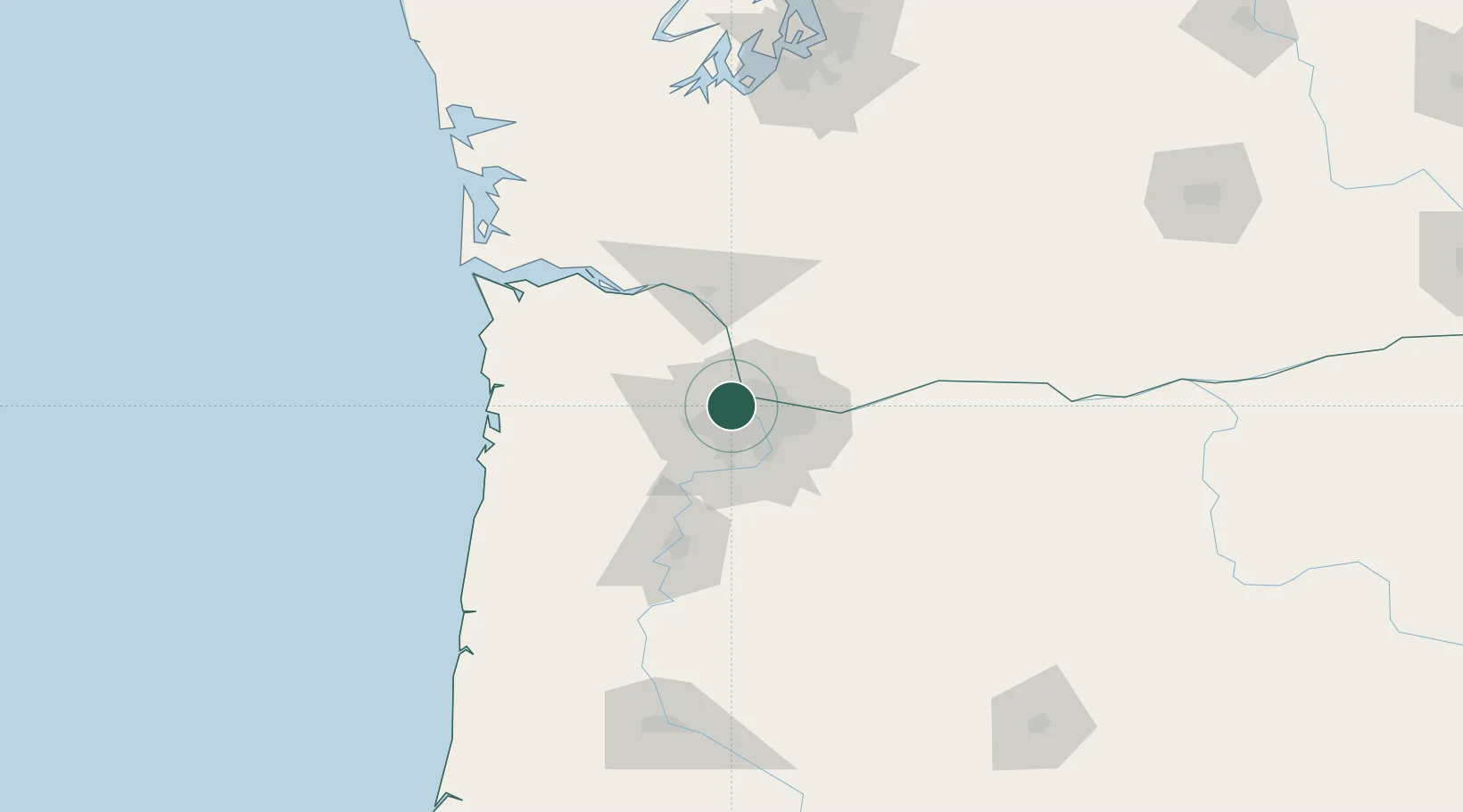
Hub Profile
Place type
Populated place
Region
Oregon
Time zone
America/Los_Angeles
Elevation
40 m
Location
Nearby Logistics Neighbours
Cities
- 1Rivergate2 km
- 2Vancouver11 km
- 3Portland17 km
- 4Ridgefield23 km
- 5Cornelius23 km
Airports
Trade Zones
- 1FTZ No. 045 Portland6 km
- 2FTZ No. 296 Vancouver9 km
- 3FTZ No. 255 Washington County48 km
- 4FTZ No. 120 Cowlitz County60 km
- 5FTZ No. 216 Olympia160 km
DatabookThe Record of Consolidated Knowledge
United States beyond logistics?