UN/LOCODE hub · United States
USQNF
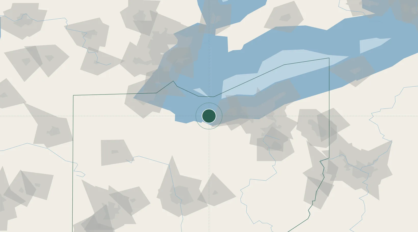
Northfield
41.3500°, -82.5333°
3,637
Population
2
Transport functions
Transport Functions
Road
Multimodal
Hub Profile
Place type
Populated place
Region
Ohio
Population
3,637
Time zone
America/New_York
Elevation
320 m
Location
Nearby Logistics Neighbours
Cities
- 1Birmingham16 km
- 2Sandusky, Erie17 km
- 3Wakeman17 km
- 4Vermilion17 km
- 5Oberlin30 km
Ports
- 1Huron6 km
- 2Vermilion17 km
- 3Sandusky19 km
- 4Lorain32 km
- 5Port Clinton38 km
Airports
Trade Zones
- 1FTZ No. 040 Cleveland60 km
- 2FTZ No. 181 Akron Canton79 km
- 3FTZ No. 008 Toledo90 km
- 4FTZ No. 151 Findlay104 km
- 5Windsor - Essex Foreign Trade Zone115 km
DatabookThe Record of Consolidated Knowledge
United States beyond logistics?