UN/LOCODE hub · United States
USPU2
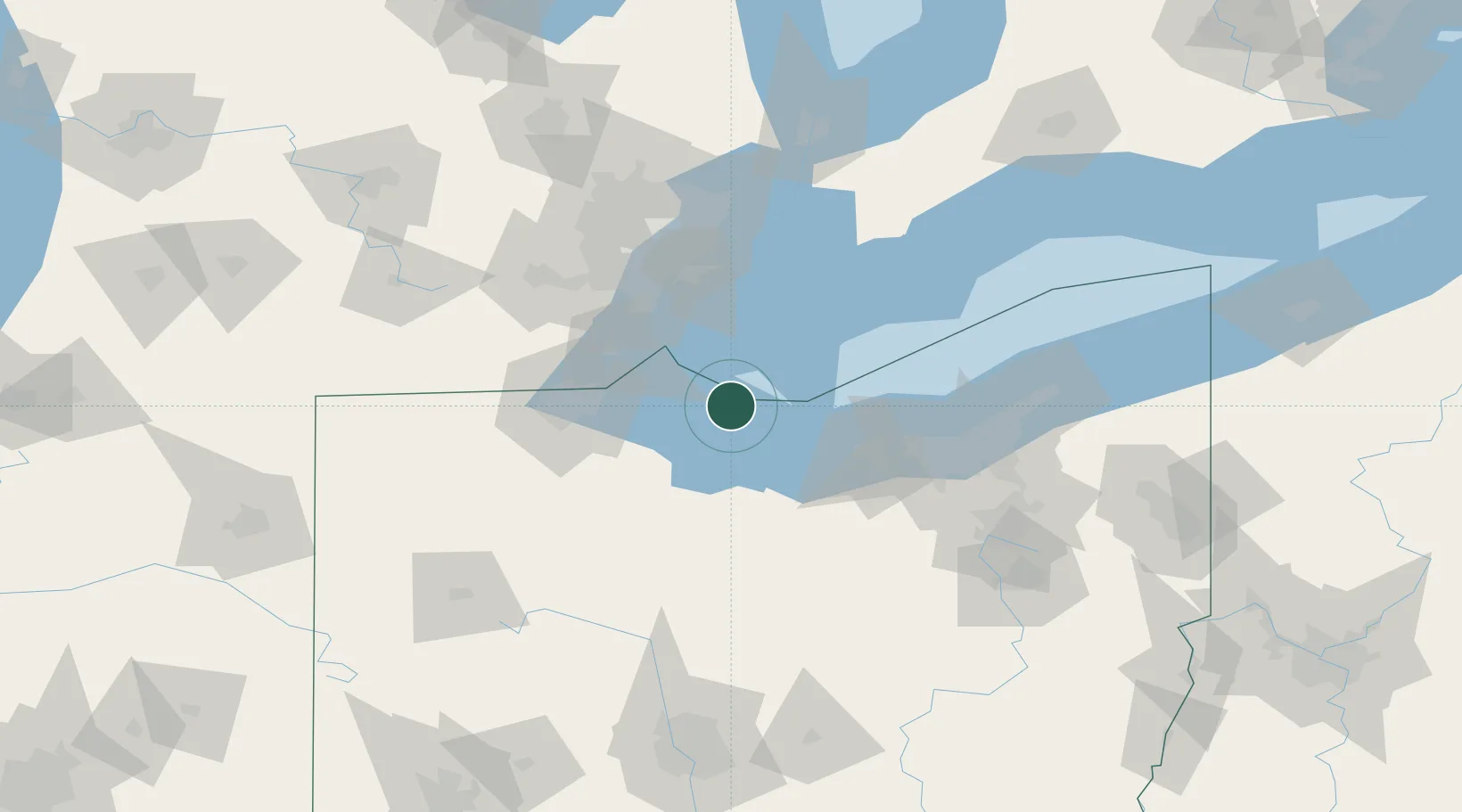
Put-In-Bay
41.6500°, -82.8167°
136
Population
1
Transport functions
Transport Functions
Rail
Hub Profile
Place type
Populated place
Region
Ohio
Population
136
Time zone
America/New_York
Elevation
174 m
Location
Nearby Logistics Neighbours
Cities
- 1Sandusky, Erie26 km
- 2Northfield41 km
- 3Elmore44 km
- 4Vermilion47 km
- 5Genoa, Ottawa48 km
Ports
- 1Port Clinton18 km
- 2Pelee I North Wharf22 km
- 3Sandusky24 km
- 4Huron36 km
- 5Kingsville41 km
Airports
Trade Zones
- 1FTZ No. 008 Toledo59 km
- 2Windsor - Essex Foreign Trade Zone76 km
- 3FTZ No. 040 Cleveland83 km
- 4FTZ No. 070 Detroit86 km
- 5FTZ No. 151 Findlay100 km
DatabookThe Record of Consolidated Knowledge
United States beyond logistics?