UN/LOCODE hub · United States
USSKY

Sandusky, Erie

41.4333°, -82.7000°
4
Transport functions

Transport Functions

Port
Rail
Road
Airport
Sandusky, Erie is also a profiled seaport →
UN/LOCODE

Hub Profile

Region
OH
GeoNames

Location

Location of USSKY
Natural Earth 10m (public domain) · OH · USSKY · 41.43, -82.70GoogleOSMYandex

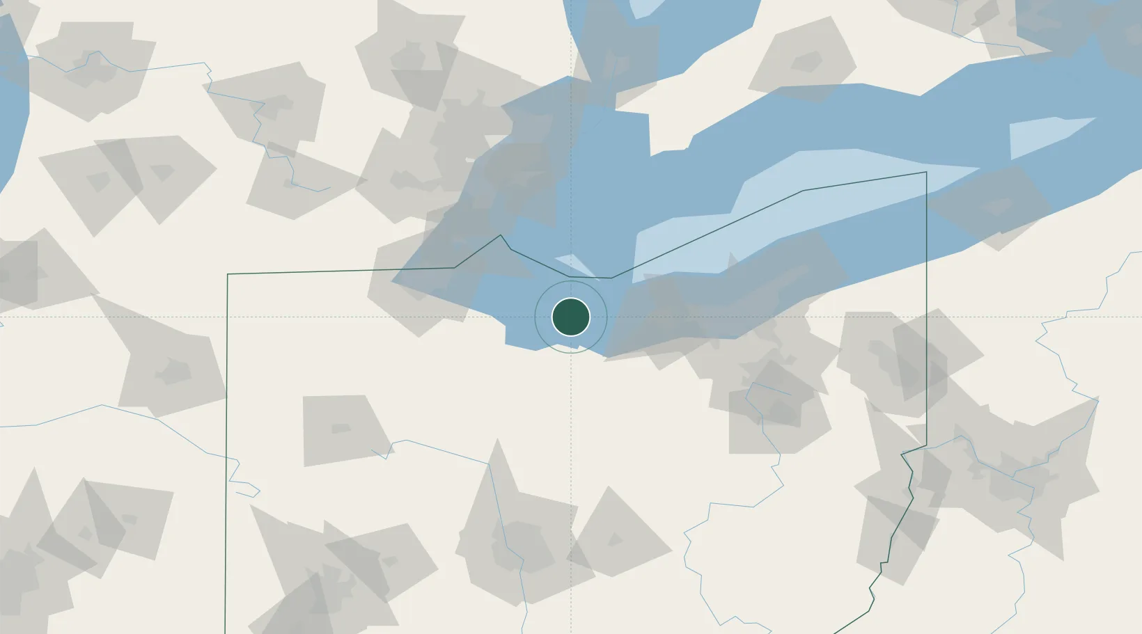
Nearby Logistics Neighbours

Cities
  1. 1Northfield17 km
  2. 2Put-In-Bay26 km
  3. 3Vermilion29 km
  4. 4Birmingham32 km
  5. 5Wakeman33 km
Nearest neighbours — logibook spatial index (haversine) over the source coordinates
Ports
  1. 1Huron13 km
  2. 2Port Clinton22 km
  3. 3Put In Bay26 km
  4. 4Vermilion28 km
  5. 5Pelee I North Wharf43 km
Nearest neighbours — logibook spatial index (haversine) over the source coordinates
Airports
  1. 1Erie-Ottawa International Airport17 km
  2. 2Kelleys Island Land Field19 km
  3. 3Pelee Island Airport38 km
  4. 4Mansfield Lahm Regional Airport70 km
  5. 5Cleveland Hopkins International Airport71 km
Nearest neighbours — logibook spatial index (haversine) over the source coordinates
Trade Zones
  1. 1FTZ No. 040 Cleveland72 km
  2. 2FTZ No. 008 Toledo73 km
  3. 3FTZ No. 151 Findlay95 km
  4. 4FTZ No. 181 Akron Canton96 km
  5. 5Windsor - Essex Foreign Trade Zone102 km
Nearest neighbours — logibook spatial index (haversine) over the source coordinates
DatabookThe Record of Consolidated Knowledge
United States beyond logistics?
Browse databook

All Sources

LocationsUN/LOCODE
UN/LOCODE — free
Portsthe NGA World Port Index
Public domain (US gov)
AirportsOurAirports
Public domain
Trade Zonesthe World Bank SEZ database
CC BY 4.0
Trade ZonesOpen Zone Map
CC BY
← United States locations