Transport Functions
Port
Road
Hub Profile
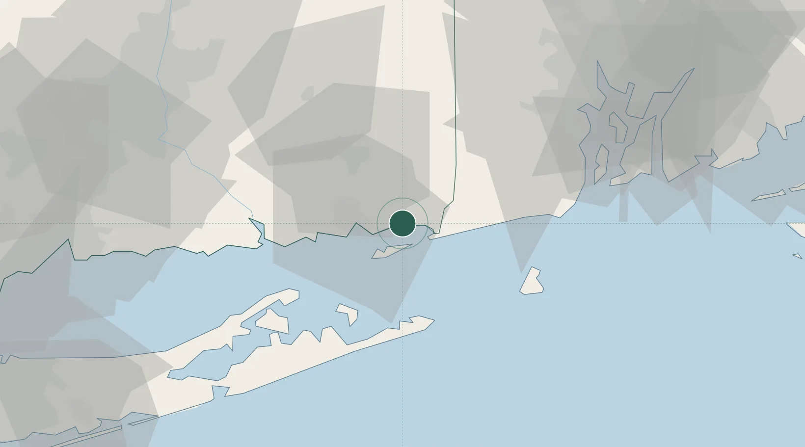
Place type
Populated place
Region
Connecticut
Population
4,205
Time zone
America/New_York
Elevation
3 m
Location
Nearby Logistics Neighbours
Cities
- 1Stonington5 km
- 2Gales Ferry13 km
- 3Waterford14 km
- 4Ashaway16 km
- 5Niantic20 km
Ports
- 1Stonington5 km
- 2Noank5 km
- 3New London11 km
- 4Norwich22 km
- 5Montauk Harbor32 km
Airports
- 1Groton New London Airport8 km
- 2Westerly State Airport12 km
- 3Montauk Airport31 km
- 4Block Island State Airport37 km
- 5Quonset State Airport53 km
Trade Zones
DatabookThe Record of Consolidated Knowledge
United States beyond logistics?