Small airport · United States
Montauk AirportKMTP
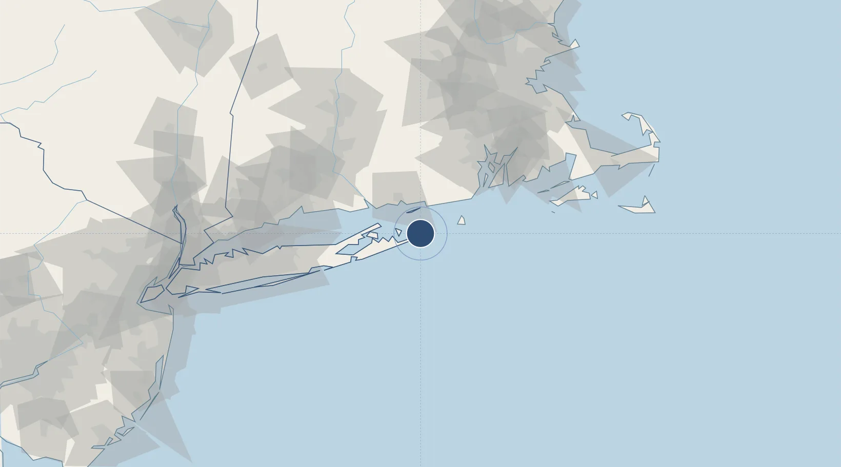
41.0765°, -71.9208°
3,246 ft
Longest runway
1
Runways
6 ft
Elevation
Runway & Layout

Radio Frequencies
APP
118.95 MHz
NEW YORK APP
DEP
125.75 MHz
PROVIDENCE DEP
UNIC
122.7 MHz
CTAF/UNICOM
Runways · 1
| Runway | Dimensions | Surface | True heading | Lit |
|---|---|---|---|---|
| 06/24 | 3,246 × 75ft | Asphalt | 047° | ✓ |
Airport Specifications
IATA code
MTP
ICAO code
KMTP
Airport class
Small airport
Scheduled service
Yes
Runway surface
Asphalt
Served city
Montauk
Location
Nearby Logistics Neighbours
Airports
- 1Groton New London Airport30 km
- 2Block Island State Airport30 km
- 3Westerly State Airport32 km
- 4Quonset State Airport72 km
- 5Newport State Airport74 km
Cities
- 1Amagansett23 km
- 2Stonington29 km
- 3Mystic31 km
- 4Sag Harbor33 km
- 5North Haven33 km
Ports
- 1Montauk Harbor2 km
- 2Noank27 km
- 3Stonington29 km
- 4Mystic31 km
- 5New London33 km
Trade Zones
DatabookThe Record of Consolidated Knowledge
United States beyond logistics?