UN/LOCODE hub · United States
USEAY

East Lyme

41.3333°, -72.2000°
2
Transport functions

Transport Functions

Road
Multimodal
UN/LOCODE

Hub Profile

Region
CT
GeoNames

Location

Location of USEAY
Natural Earth 10m (public domain) · CT · USEAY · 41.33, -72.20GoogleOSMYandex

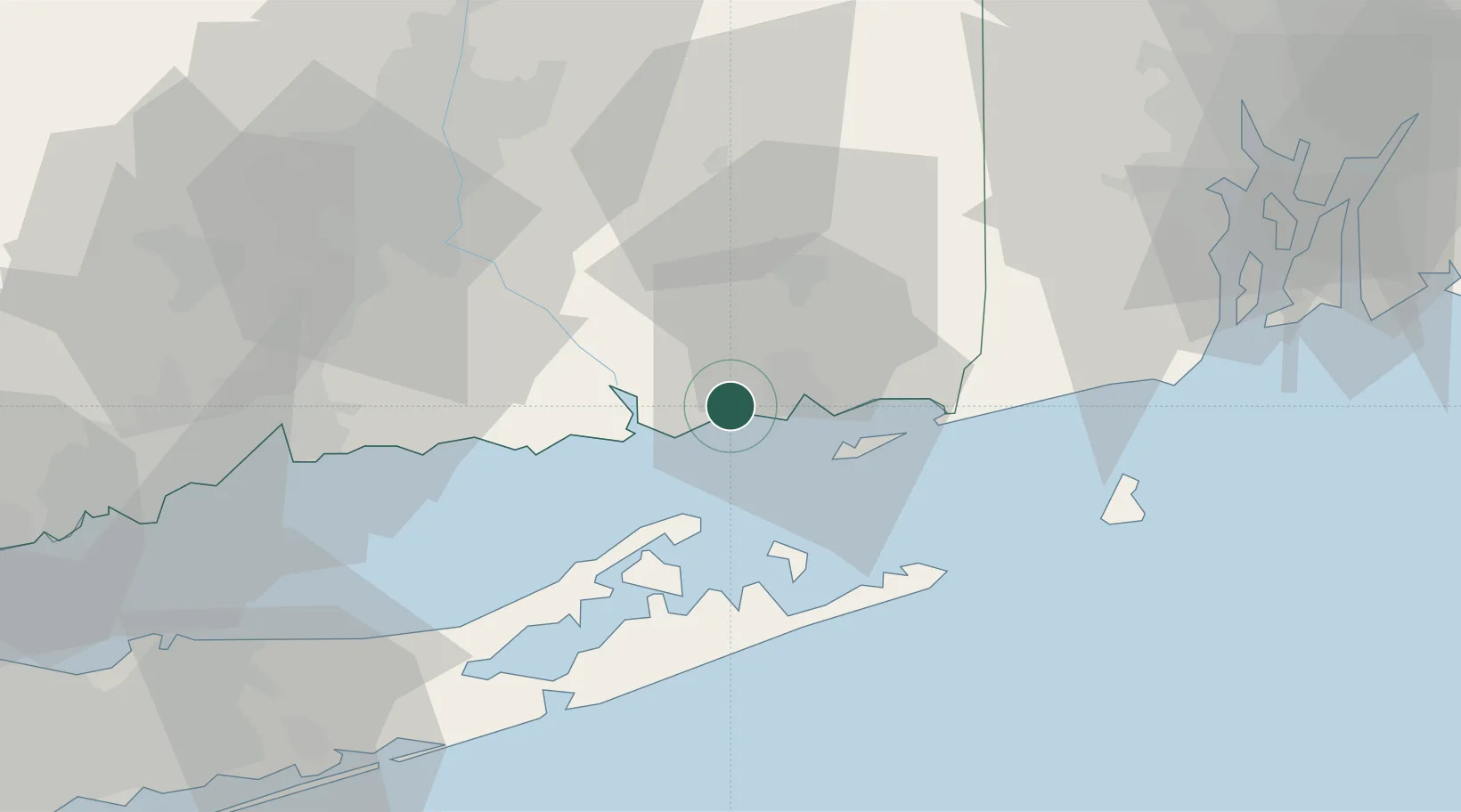
Nearby Logistics Neighbours

Cities
  1. 1Niantic2 km
  2. 2Waterford7 km
  3. 3Gales Ferry13 km
  4. 4Mystic21 km
  5. 5Stonington25 km
Nearest neighbours — logibook spatial index (haversine) over the source coordinates
Ports
  1. 1New London10 km
  2. 2Essex15 km
  3. 3Noank18 km
  4. 4Mystic20 km
  5. 5Norwich23 km
Nearest neighbours — logibook spatial index (haversine) over the source coordinates
Airports
  1. 1Groton New London Airport13 km
  2. 2Westerly State Airport33 km
  3. 3Montauk Airport37 km
  4. 4Block Island State Airport55 km
  5. 5Tweed New Haven Airport58 km
Nearest neighbours — logibook spatial index (haversine) over the source coordinates
Trade Zones
  1. 1FTZ No. 208 New London9 km
  2. 2FTZ No. 162 New Haven61 km
  3. 3FTZ No. 071 Windsor Locks75 km
  4. 4FTZ No. 105 Providence and North Kingstown82 km
  5. 5FTZ No. 076 Bridgeport85 km
Nearest neighbours — logibook spatial index (haversine) over the source coordinates
DatabookThe Record of Consolidated Knowledge
United States beyond logistics?
Browse databook

All Sources

LocationsUN/LOCODE
UN/LOCODE — free
Portsthe NGA World Port Index
Public domain (US gov)
AirportsOurAirports
Public domain
Trade Zonesthe World Bank SEZ database
CC BY 4.0
Trade ZonesOpen Zone Map
CC BY
← United States locations