UN/LOCODE hub · United States
USGSF
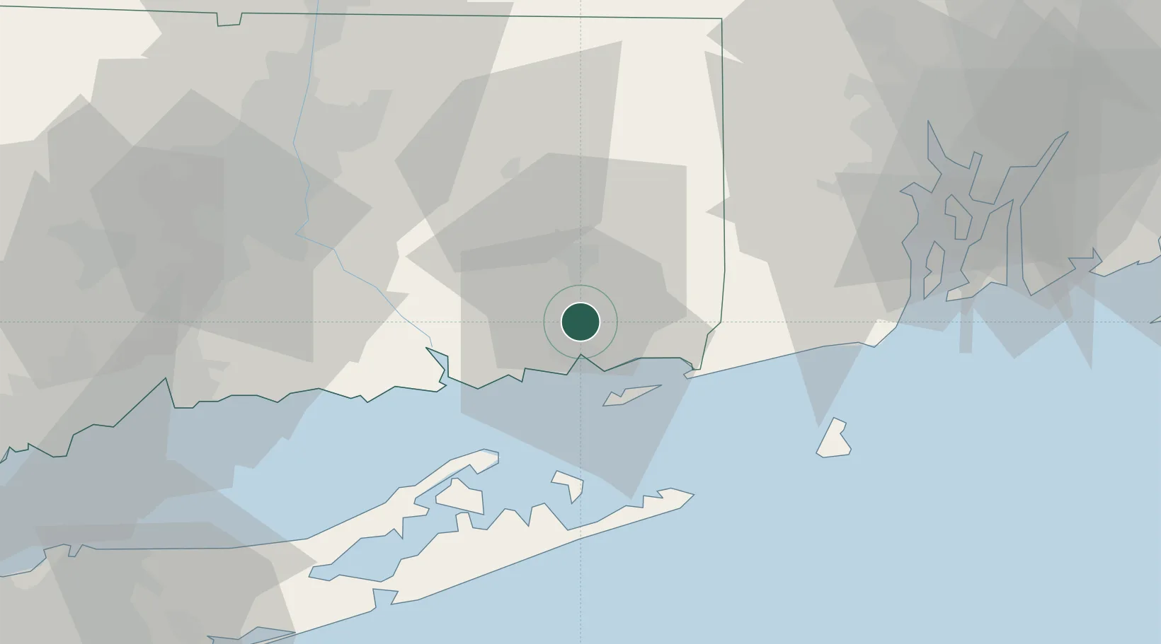
Gales Ferry
41.4167°, -72.0833°
1,162
Population
3
Transport functions
Transport Functions
Port
Rail
Road
Hub Profile
Place type
Populated place
Region
Connecticut
Population
1,162
Time zone
America/New_York
Elevation
15 m
Location
Nearby Logistics Neighbours
Ports
- 1New London7 km
- 2Norwich11 km
- 3Mystic12 km
- 4Noank14 km
- 5Stonington18 km
Airports
- 1Groton New London Airport10 km
- 2Westerly State Airport25 km
- 3Montauk Airport40 km
- 4Block Island State Airport50 km
- 5Hartford Brainard Airport59 km
Trade Zones
DatabookThe Record of Consolidated Knowledge
United States beyond logistics?