Channel & Berth Profile
Pilotage, Tugs & Services
Pilotage availableYES
Potable waterYES
Diesel bunkersYES
Facilities & Capabilities
Container—
Ro-Ro—
Liquid bulk—
Dry bulk—
Oil terminal—
Break bulk—
Dry dock—
RepairsNO
BunkeringYES
Rail link—
Dangerous cargo—
ISPS security—
Harbour Specifications
Harbour size
Very Small
Harbour type
River (Natural)
Shelter
Good
Water body
North Pacific Ocean
Tidal range
1.2 m
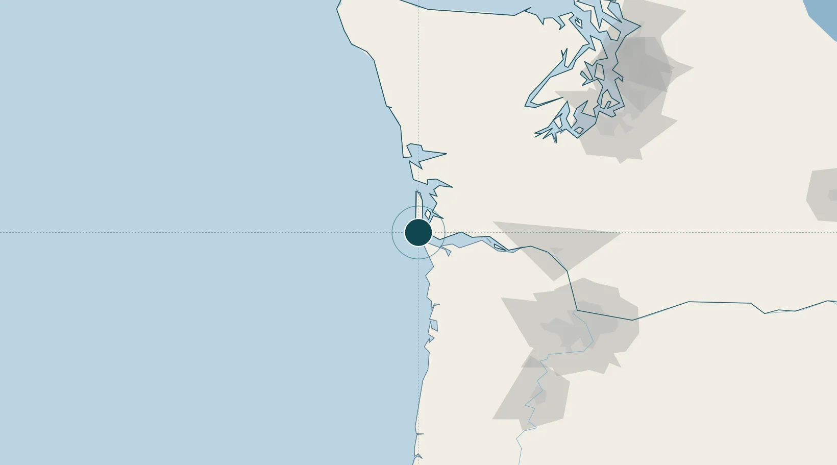
Location
Nearby Logistics Neighbours
Ports
- 1Warrenton18 km
- 2Astoria20 km
- 3South Bend46 km
- 4Willapa Harbor48 km
- 5Raymond49 km
Cities
- 1Chinook10 km
- 2Astoria19 km
- 3Long Beach36 km
- 4Bradwood49 km
- 5Raymond50 km
Airports
- 1Astoria Regional Airport21 km
- 2Bowerman Airport75 km
- 3Southwest Washington Regional Airport91 km
- 4Olympia Regional Airport115 km
- 5Portland Hillsboro Airport120 km
Trade Zones
- 1FTZ No. 120 Cowlitz County83 km
- 2FTZ No. 255 Washington County98 km
- 3FTZ No. 173 Grays Harbor99 km
- 4FTZ No. 216 Olympia119 km
- 5FTZ No. 296 Vancouver128 km
DatabookThe Record of Consolidated Knowledge
United States beyond logistics?