UN/LOCODE hub · United States
USAST
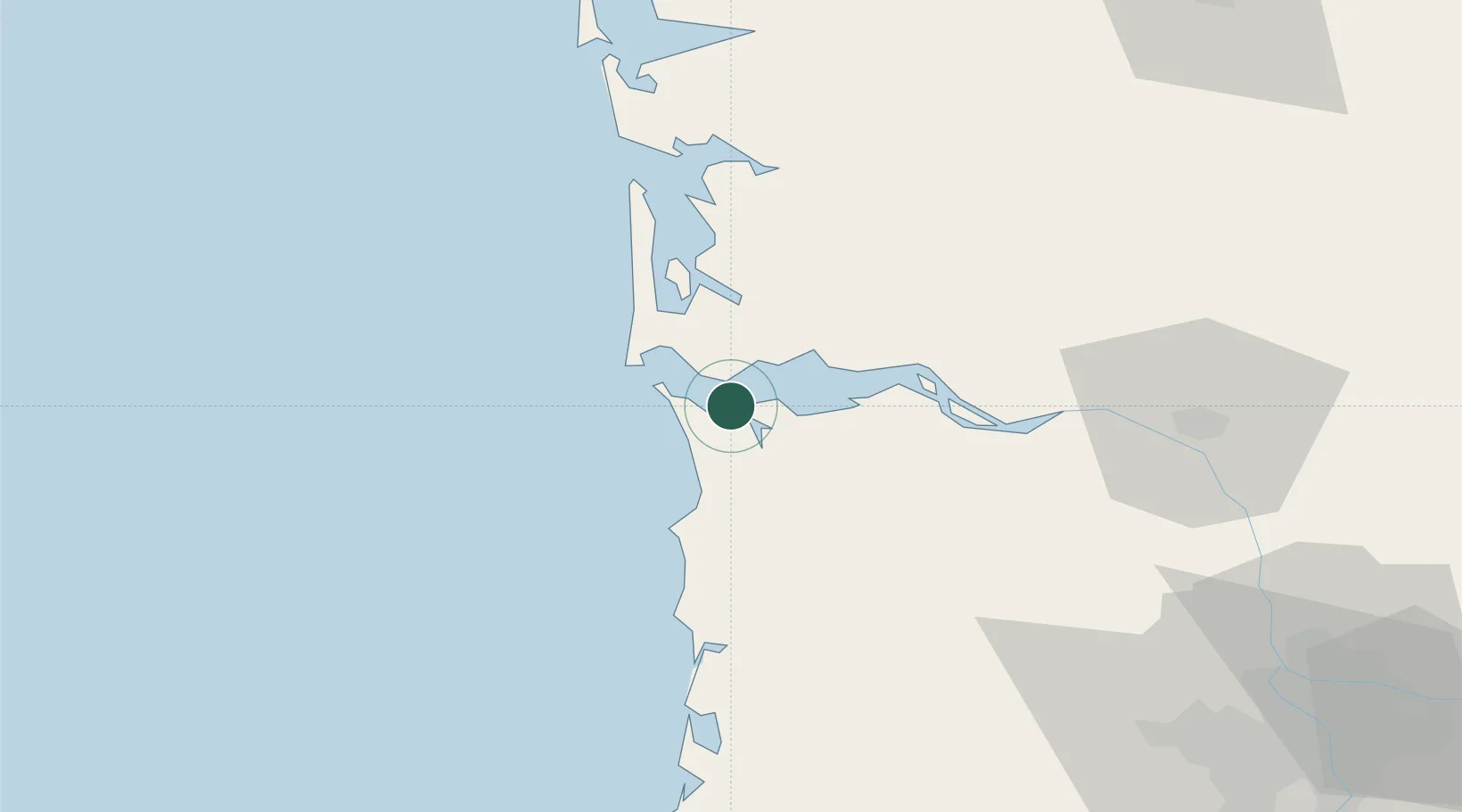
Astoria
46.1893°, -123.8631°
9,626
Population
2
Transport functions
Transport Functions
Port
Airport
Hub Profile
Place type
Provincial seat
Region
Oregon
Population
9,626
Time zone
America/Los_Angeles
Elevation
7 m
Logistics facilities
1
Location
Nearby Logistics Neighbours
Cities
- 1Chinook10 km
- 2Bradwood33 km
- 3Wauna Range36 km
- 4Cathlamet37 km
- 5Clatskanie52 km
Ports
- 1Warrenton5 km
- 2Ilwaco19 km
- 3South Bend53 km
- 4Willapa Harbor56 km
- 5Raymond56 km
Airports
Trade Zones
- 1FTZ No. 120 Cowlitz County66 km
- 2FTZ No. 255 Washington County80 km
- 3FTZ No. 296 Vancouver110 km
- 4FTZ No. 045 Portland110 km
- 5FTZ No. 173 Grays Harbor114 km
DatabookThe Record of Consolidated Knowledge
United States beyond logistics?