UN/LOCODE hub · United States
USYBH
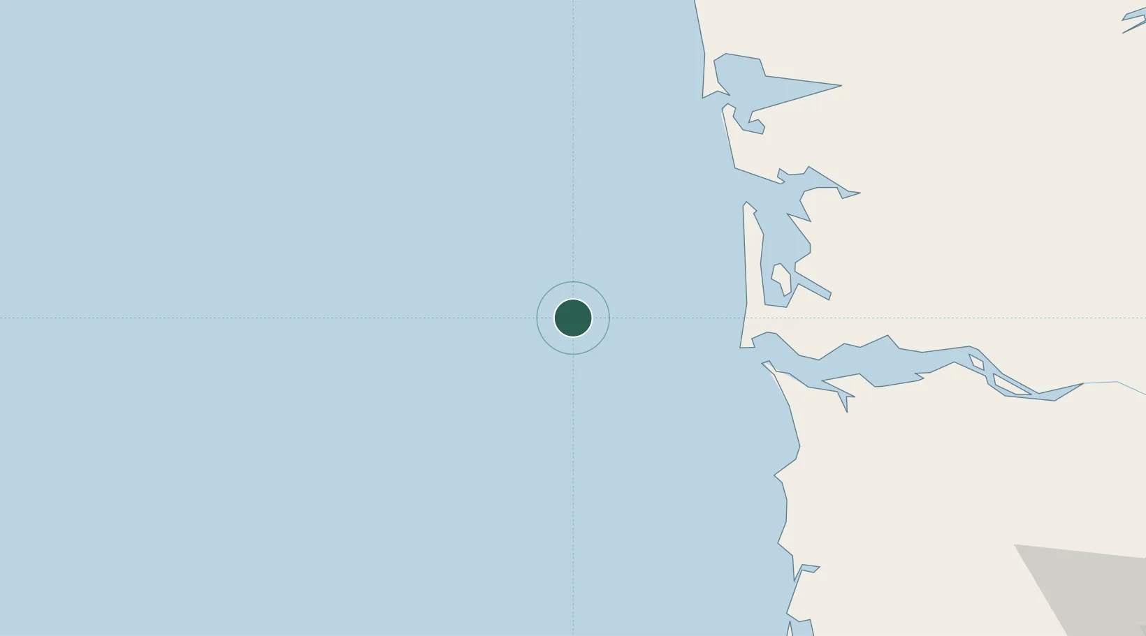
Long Beach
46.3500°, -124.5167°
1,364
Population
1
Transport functions
Transport Functions
Multimodal
Hub Profile
Place type
Populated place
Region
Washington
Population
1,364
Time zone
America/Los_Angeles
Elevation
4 m
Location
Nearby Logistics Neighbours
Cities
- 1Chinook46 km
- 2Astoria53 km
- 3Raymond72 km
- 4Grays Harbor City83 km
- 5Bradwood85 km
Ports
- 1Ilwaco36 km
- 2Warrenton50 km
- 3Astoria55 km
- 4South Bend66 km
- 5Willapa Harbor69 km
Airports
- 1Astoria Regional Airport54 km
- 2Bowerman Airport82 km
- 3Southwest Washington Regional Airport127 km
- 4Olympia Regional Airport141 km
- 5Portland Hillsboro Airport151 km
Trade Zones
- 1FTZ No. 173 Grays Harbor91 km
- 2FTZ No. 120 Cowlitz County119 km
- 3FTZ No. 255 Washington County124 km
- 4FTZ No. 216 Olympia143 km
- 5FTZ No. 045 Portland161 km
DatabookThe Record of Consolidated Knowledge
United States beyond logistics?