Seaport · United States
GloucesterUSGLC
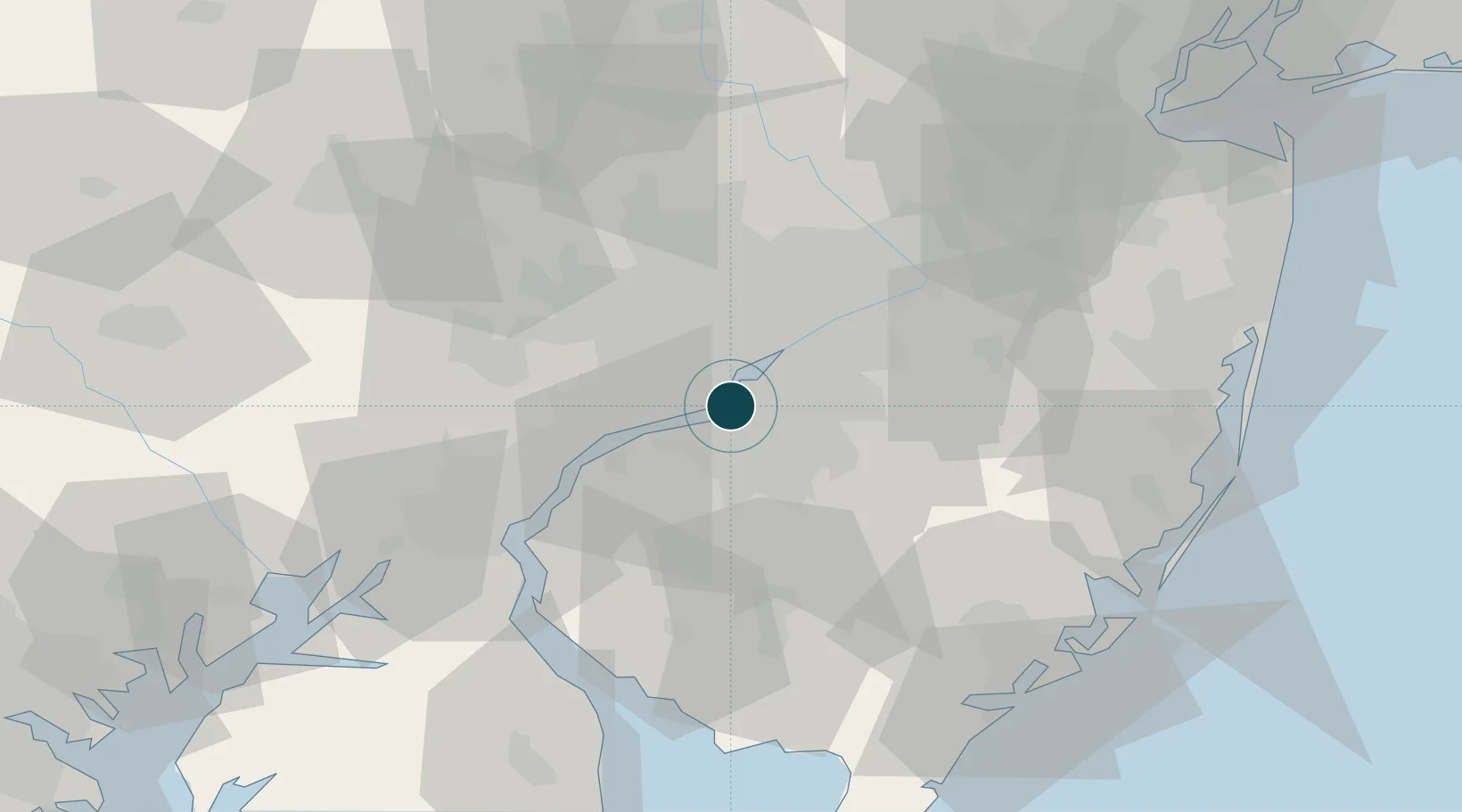
39.9000°, -75.1333°
11.0 m
Channel depth
27.5
Port liner connectivity
Channel & Berth Profile
Pilotage, Tugs & Services
Pilotage compulsoryYES
Tug assistanceYES
Salvage tugsNO
Potable waterYES
Diesel bunkersYES
MedicalYES
Facilities & Capabilities
Container—
Ro-Ro—
Liquid bulk—
Dry bulk—
Oil terminal—
Break bulk—
Dry dock—
RepairsNO
BunkeringYES
Rail linkYES
Dangerous cargo—
ISPS security—
Harbour Specifications
Harbour size
Small
Harbour type
Coastal (Natural)
Shelter
Good
Water body
North Atlantic Ocean
Tidal range
2.7 m
Overhead limit
Yes
Pilotage
Yes
Liner Connectivity
27.5
PLSCI
Port Liner Shipping Connectivity Index for Gloucester, as published by UNCTAD for the latest available quarter. Higher values indicate stronger scheduled liner-shipping integration.
Shown relative to the highest per-port PLSCI in the dataset (1,657.9).
Location
Nearby Logistics Neighbours
Ports
- 1Philadelphia6 km
- 2Camden6 km
- 3Paulsboro11 km
- 4Chester19 km
- 5Marcus Hook26 km
Cities
- 1Camden3 km
- 2Philadelphia5 km
- 3Runnemede8 km
- 4Vernon, Camden9 km
- 5Port Richmond10 km
Airports
Trade Zones
- 1FTZ No. 035 Philadelphia16 km
- 2FTZ No. 099 Wilmington39 km
- 3FTZ No. 200 Mercer County49 km
- 4FTZ No. 142 Salem Millville57 km
- 5FTZ No. 235 Lakewood79 km
DatabookThe Record of Consolidated Knowledge
United States beyond logistics?