UN/LOCODE hub · United States
USYRD
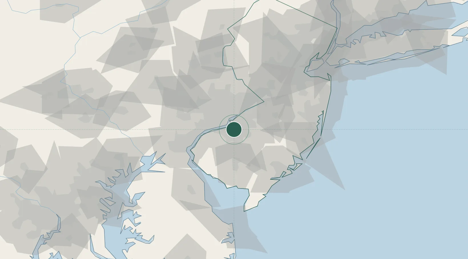
Runnemede
39.8500°, -75.0667°
8,381
Population
4
Transport functions
Transport Functions
Port
Rail
Road
Multimodal
Hub Profile
Place type
Populated place
Region
New Jersey
Population
8,381
Time zone
America/New_York
Elevation
35 m
Location
Nearby Logistics Neighbours
Cities
- 1Vernon, Camden6 km
- 2Gloucester City7 km
- 3Wenonah9 km
- 4Clementon9 km
- 5Camden10 km
Ports
- 1Gloucester8 km
- 2Philadelphia13 km
- 3Camden13 km
- 4Paulsboro16 km
- 5Chester24 km
Airports
Trade Zones
- 1FTZ No. 035 Philadelphia24 km
- 2FTZ No. 099 Wilmington43 km
- 3FTZ No. 200 Mercer County51 km
- 4FTZ No. 142 Salem Millville51 km
- 5FTZ No. 235 Lakewood75 km
DatabookThe Record of Consolidated Knowledge
United States beyond logistics?