Transport Functions
Rail
Road
Hub Profile
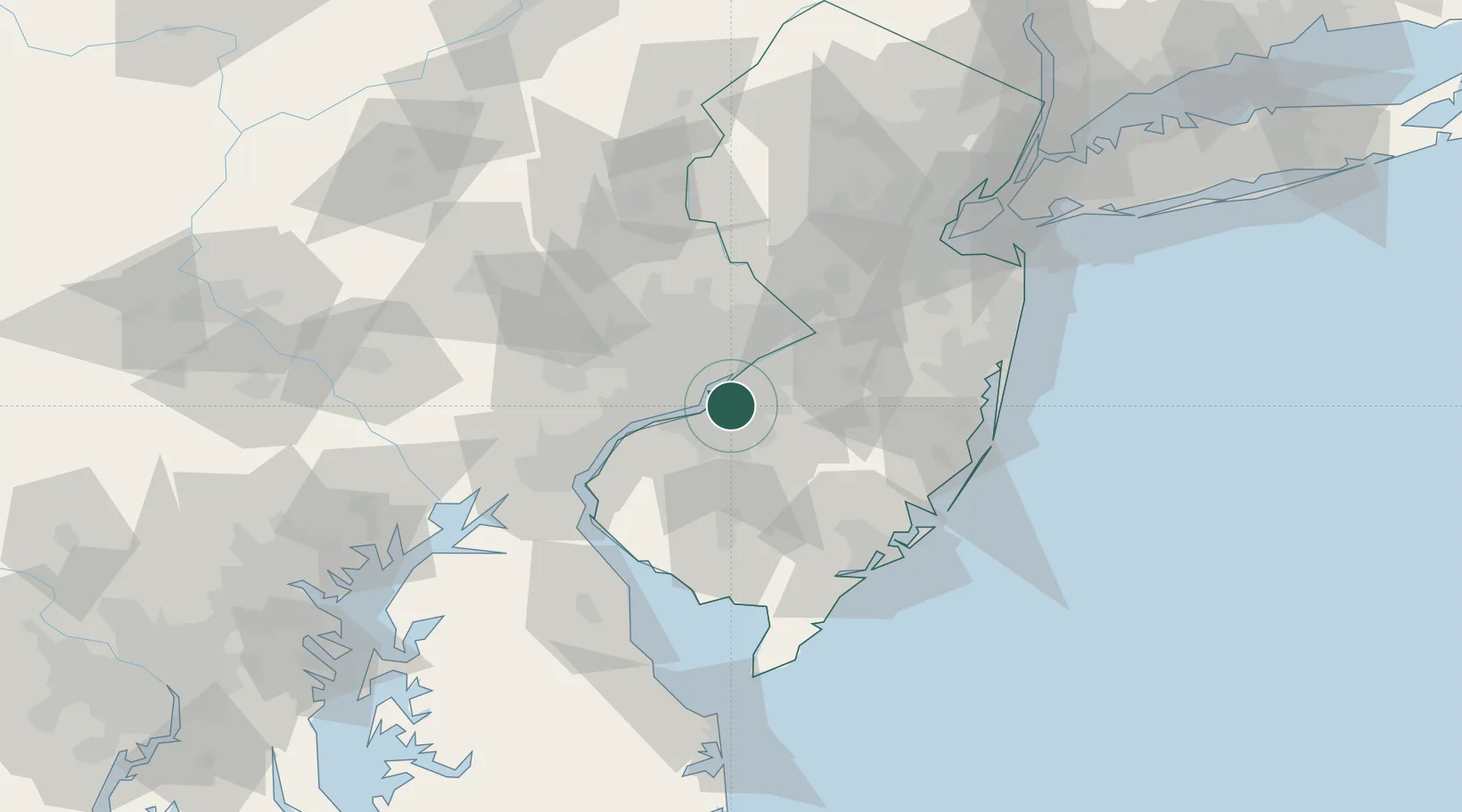
Region
NJ
Location
Nearby Logistics Neighbours
Cities
- 1Runnemede6 km
- 2Morrisville8 km
- 3Gloucester City8 km
- 4Camden8 km
- 5Philadelphia8 km
Ports
- 1Gloucester9 km
- 2Philadelphia10 km
- 3Camden10 km
- 4Paulsboro19 km
- 5Burlington25 km
Airports
Trade Zones
- 1FTZ No. 035 Philadelphia22 km
- 2FTZ No. 200 Mercer County45 km
- 3FTZ No. 099 Wilmington47 km
- 4FTZ No. 142 Salem Millville57 km
- 5FTZ No. 235 Lakewood70 km
DatabookThe Record of Consolidated Knowledge
United States beyond logistics?