UN/LOCODE hub · United States
USPHL
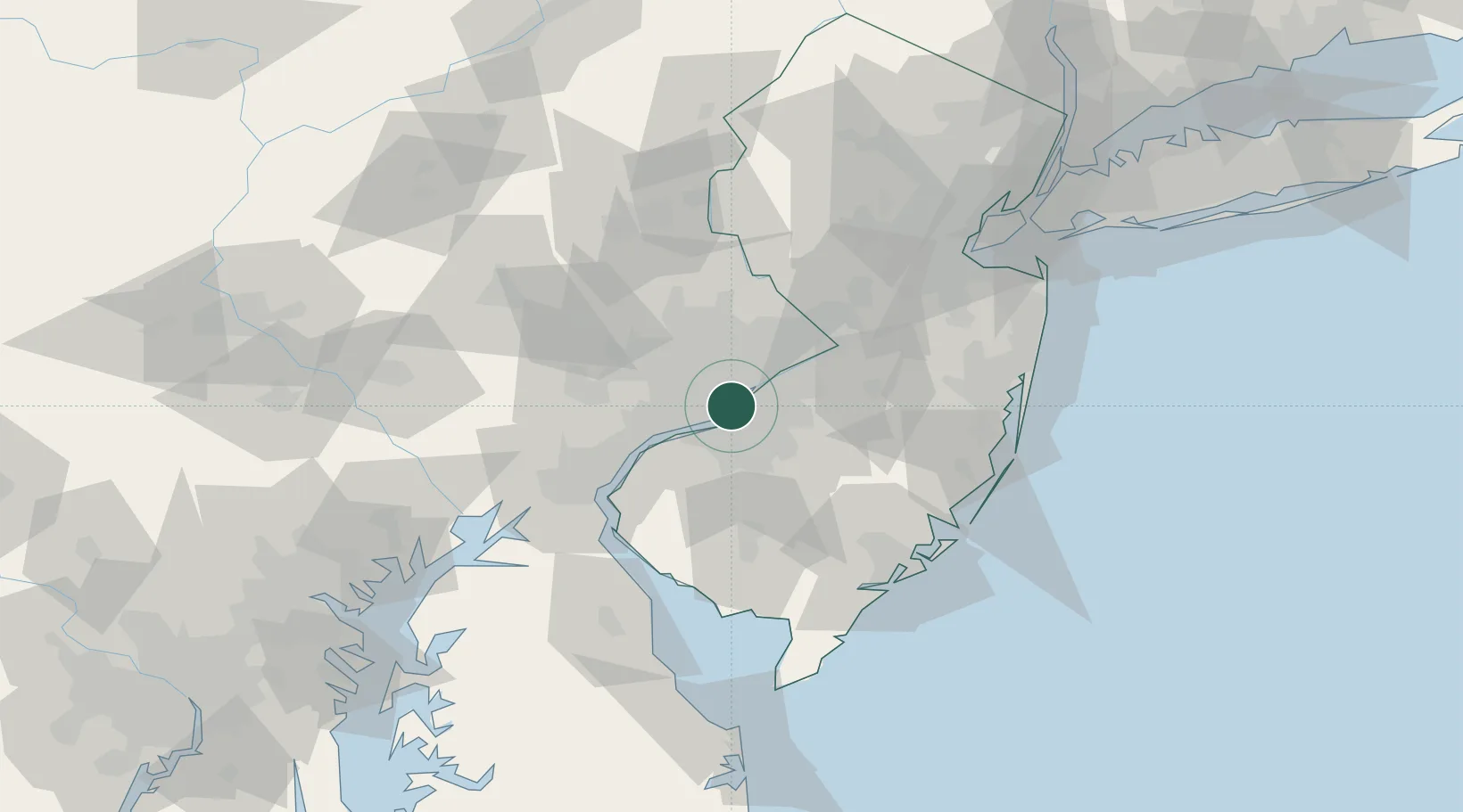
Philadelphia
39.9456°, -75.1117°
1,573,916
Population
3
Transport functions
2
Container terminals
Transport Functions
Port
Airport
Postal
Hub Profile
Place type
Provincial seat
Region
Pennsylvania
Population
1,573,916
Time zone
America/New_York
Elevation
12 m
Logistics facilities
29
Container terminals
2
Location
Nearby Logistics Neighbours
Cities
- 1Camden3 km
- 2Port Richmond4 km
- 3Gloucester City5 km
- 4Morrisville6 km
- 5Nicetown7 km
Ports
- 1Camden2 km
- 2Gloucester5 km
- 3Paulsboro16 km
- 4Chester23 km
- 5Burlington26 km
Airports
Trade Zones
- 1FTZ No. 035 Philadelphia14 km
- 2FTZ No. 200 Mercer County43 km
- 3FTZ No. 099 Wilmington43 km
- 4FTZ No. 142 Salem Millville62 km
- 5FTZ No. 235 Lakewood76 km
DatabookThe Record of Consolidated Knowledge
United States beyond logistics?