Transport Functions
Port
Road
Hub Profile
Place type
Provincial seat
Region
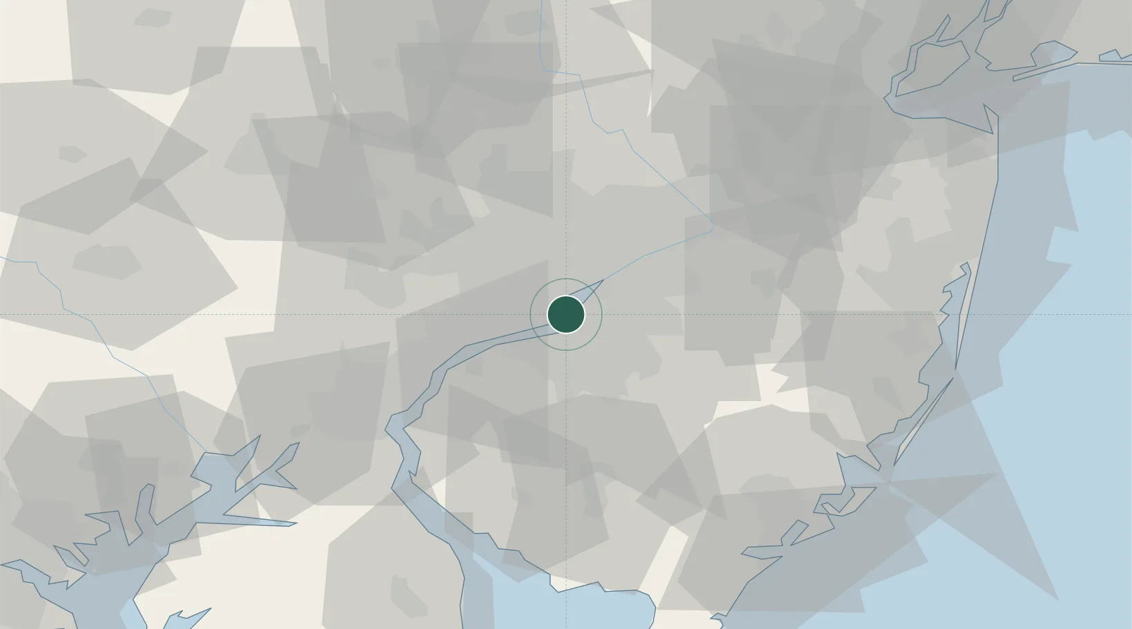
New Jersey
Population
76,119
Time zone
America/New_York
Elevation
6 m
Logistics facilities
2
Location
Nearby Logistics Neighbours
Cities
- 1Philadelphia3 km
- 2Gloucester City3 km
- 3Port Richmond7 km
- 4Morrisville8 km
- 5Vernon, Camden8 km
Ports
- 1Gloucester3 km
- 2Philadelphia3 km
- 3Paulsboro14 km
- 4Chester21 km
- 5Marcus Hook28 km
Airports
Trade Zones
- 1FTZ No. 035 Philadelphia14 km
- 2FTZ No. 099 Wilmington41 km
- 3FTZ No. 200 Mercer County46 km
- 4FTZ No. 142 Salem Millville59 km
- 5FTZ No. 235 Lakewood77 km
DatabookThe Record of Consolidated Knowledge
United States beyond logistics?