UN/LOCODE hub · United States
USMU2

Moodus

41.5000°, -72.4500°
1,413
Population
2
Transport functions

Transport Functions

Road
Multimodal
UN/LOCODE

Hub Profile

Place type
Populated place
GeoNames
Region
Connecticut
GeoNames
Population
1,413
GeoNames
Time zone
America/New_York
GeoNames
Elevation
54 m
GeoNames

Location

Location of USMU2
Natural Earth 10m (public domain) · Connecticut · USMU2 · 41.50, -72.45GoogleOSMYandex

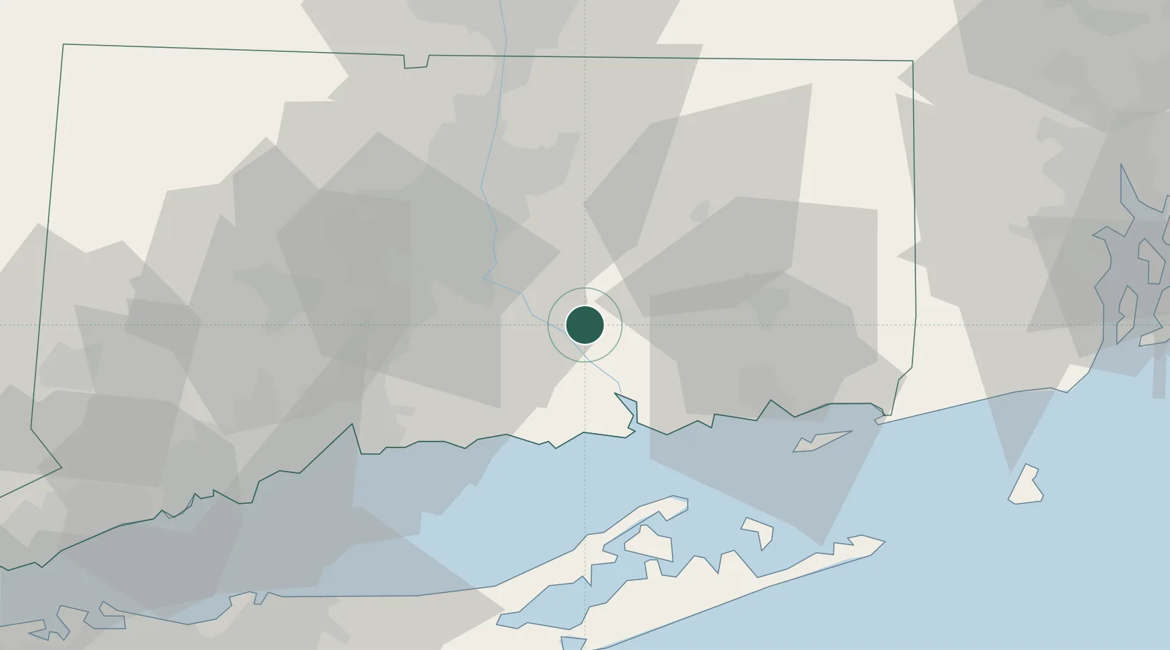
Nearby Logistics Neighbours

Cities
  1. 1Haddam6 km
  2. 2East Hampton9 km
  3. 3Cromwell20 km
  4. 4Middlefield22 km
  5. 5South Glastonbury23 km
Nearest neighbours — logibook spatial index (haversine) over the source coordinates
Ports
  1. 1Essex18 km
  2. 2Norwich31 km
  3. 3New London35 km
  4. 4Mystic44 km
  5. 5Noank44 km
Nearest neighbours — logibook spatial index (haversine) over the source coordinates
Airports
  1. 1Hartford Brainard Airport31 km
  2. 2Groton New London Airport39 km
  3. 3Tweed New Haven Airport45 km
  4. 4Bradley International Airport53 km
  5. 5Westerly State Airport56 km
Nearest neighbours — logibook spatial index (haversine) over the source coordinates
Trade Zones
  1. 1FTZ No. 208 New London34 km
  2. 2FTZ No. 162 New Haven45 km
  3. 3FTZ No. 071 Windsor Locks50 km
  4. 4FTZ No. 076 Bridgeport72 km
  5. 5FTZ No. 201 Holyoke83 km
Nearest neighbours — logibook spatial index (haversine) over the source coordinates
DatabookThe Record of Consolidated Knowledge
United States beyond logistics?
Browse databook

All Sources

LocationsUN/LOCODE
UN/LOCODE — free
LocationsGeoNames
CC BY 4.0
Portsthe NGA World Port Index
Public domain (US gov)
AirportsOurAirports
Public domain
Trade Zonesthe World Bank SEZ database
CC BY 4.0
Trade ZonesOpen Zone Map
CC BY
← United States locations