UN/LOCODE hub · United States
USZB3
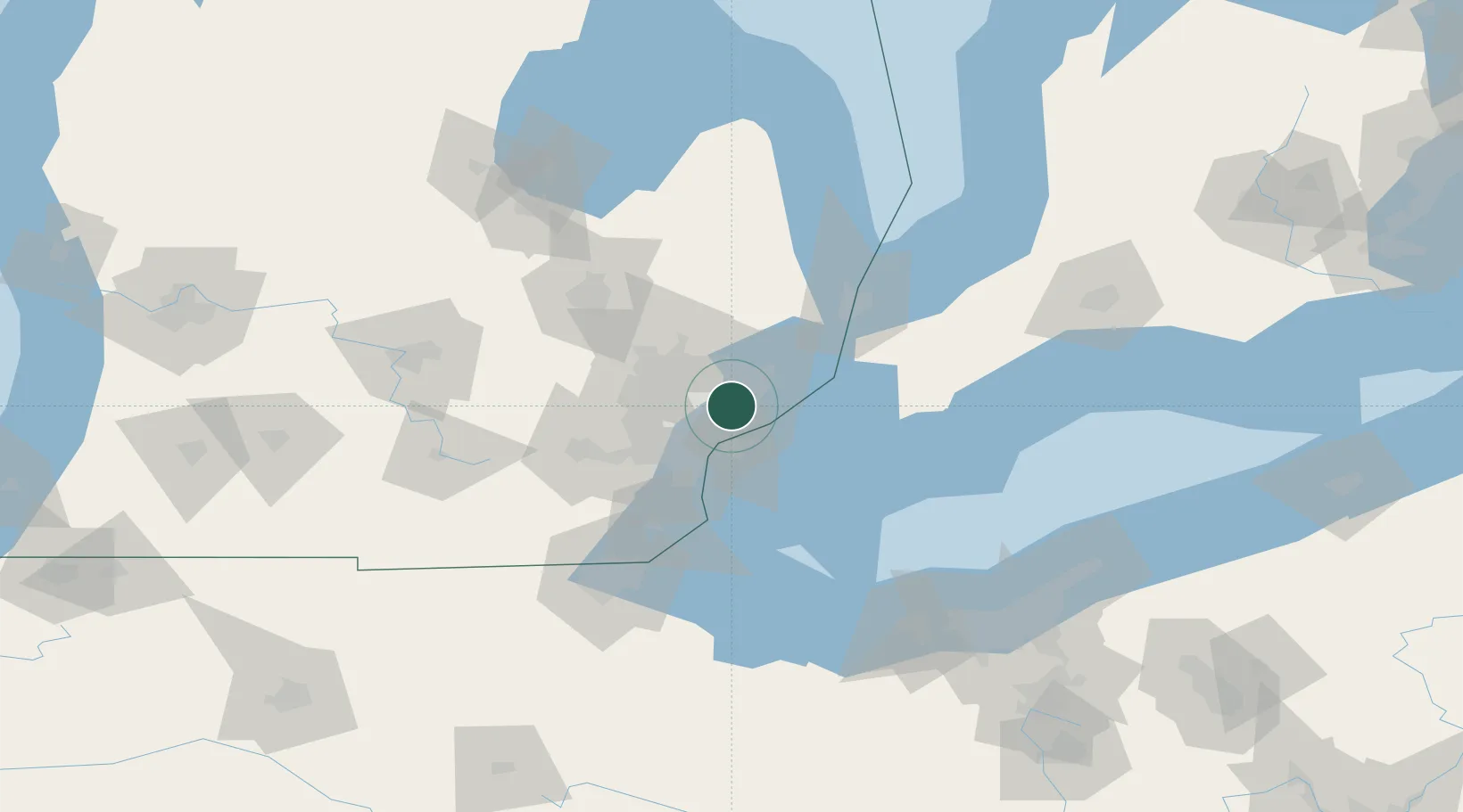
Center Line
42.4833°, -83.0167°
8,320
Population
1
Transport functions
Transport Functions
Multimodal
Hub Profile
Place type
Populated place
Region
Michigan
Population
8,320
Time zone
America/Detroit
Elevation
190 m
Location
Nearby Logistics Neighbours
Cities
- 1Hazel Park7 km
- 2Saint Clair Shores11 km
- 3Clawson11 km
- 4Grosse Point Woods11 km
- 5Berkley12 km
Ports
- 1Detroit17 km
- 2Windsor19 km
- 3Wyandotte33 km
- 4Trenton41 km
- 5Amherstburg43 km
Airports
Trade Zones
DatabookThe Record of Consolidated Knowledge
United States beyond logistics?