UN/LOCODE hub · United States
USDET
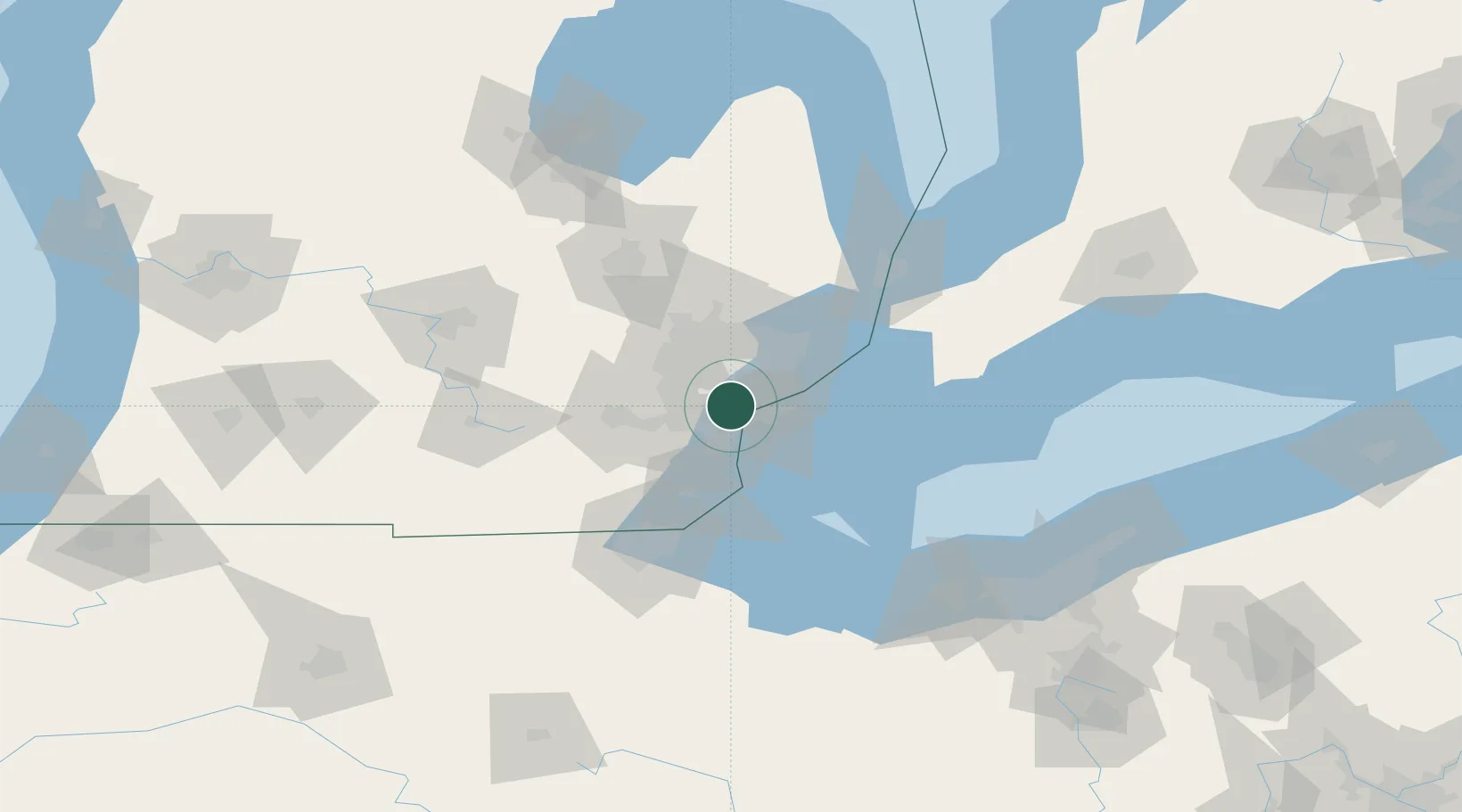
Detroit
42.3258°, -83.1874°
645,705
Population
4
Transport functions
Transport Functions
Port
Rail
Road
Airport
Hub Profile
Place type
Provincial seat
Region
Michigan
Population
645,705
Time zone
America/Detroit
Elevation
183 m
Logistics facilities
48
Location
Nearby Logistics Neighbours
Cities
- 1Melvindale7 km
- 2Dearborn Heights9 km
- 3Huntington Woods16 km
- 4Hazel Park17 km
- 5Berkley19 km
Ports
- 1Windsor13 km
- 2Wyandotte14 km
- 3Trenton22 km
- 4Amherstburg26 km
- 5Monroe51 km
Airports
Trade Zones
- 1FTZ No. 070 Detroit5 km
- 2Windsor - Essex Foreign Trade Zone13 km
- 3FTZ No. 210 St. Clair County78 km
- 4FTZ No. 008 Toledo80 km
- 5FTZ No. 140 Flint90 km
DatabookThe Record of Consolidated Knowledge
United States beyond logistics?