UN/LOCODE hub · United States
USNHR

Mount Hermon

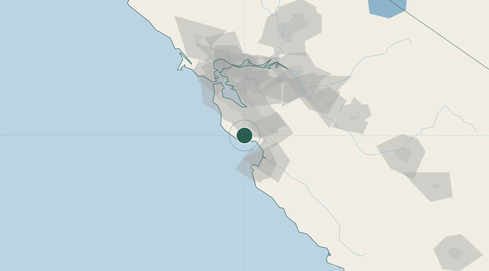
37.0500°, -122.0667°
1,037
Population
2
Transport functions

Transport Functions

Road
Multimodal
UN/LOCODE

Hub Profile

Place type
Populated place
GeoNames
Region
California
GeoNames
Population
1,037
GeoNames
Time zone
America/Los_Angeles
GeoNames
Elevation
122 m
GeoNames

Location

Location of USNHR
Natural Earth 10m (public domain) · California · USNHR · 37.05, -122.07GoogleOSMYandex

Nearby Logistics Neighbours

Cities
  1. 1Felton0 km
  2. 2Capitola14 km
  3. 3Guadalupe22 km
  4. 4Corralitos25 km
  5. 5Watsonville33 km
Nearest neighbours — logibook spatial index (haversine) over the source coordinates
Ports
  1. 1Santa Cruz10 km
  2. 2Davenport12 km
  3. 3Moss38 km
  4. 4Monterey51 km
  5. 5Redwood City55 km
Nearest neighbours — logibook spatial index (haversine) over the source coordinates
Airports
  1. 1Norman Y. Mineta San Jose International Airport37 km
  2. 2Moffett Federal Airfield41 km
  3. 3Palo Alto Airport46 km
  4. 4San Carlos Airport54 km
  5. 5Monterey Regional Airport55 km
Nearest neighbours — logibook spatial index (haversine) over the source coordinates
Trade Zones
  1. 1FTZ No. 018 San Jose36 km
  2. 2FTZ No. 056 Oakland86 km
  3. 3FTZ No. 003 San Francisco88 km
  4. 4FTZ No. 231 Stockton120 km
  5. 5FTZ No. 226 Merced, Madera and Fresno Counties143 km
Nearest neighbours — logibook spatial index (haversine) over the source coordinates
DatabookThe Record of Consolidated Knowledge
United States beyond logistics?
Browse databook

All Sources

LocationsUN/LOCODE
UN/LOCODE — free
LocationsGeoNames
CC BY 4.0
Portsthe NGA World Port Index
Public domain (US gov)
AirportsOurAirports
Public domain
Trade Zonesthe World Bank SEZ database
CC BY 4.0
Trade ZonesOpen Zone Map
CC BY
← United States locations