Channel & Berth Profile
Pilotage, Tugs & Services
Pilotage compulsoryYES
Pilotage availableYES
Pilotage advisableYES
Tug assistanceYES
Potable waterYES
Diesel bunkersNO
MedicalYES
Garbage disposalYES
Facilities & Capabilities
Container—
Ro-Ro—
Liquid bulk—
Dry bulk—
Oil terminal—
Break bulk—
Dry dock—
RepairsNO
BunkeringNO
Rail link—
Dangerous cargo—
ISPS security—
Harbour Specifications
Harbour size
Very Small
Harbour type
Coastal (Breakwater)
Shelter
Fair
Water body
Black Sea; North Atlantic Ocean
Overhead limit
No
Pilotage
Yes
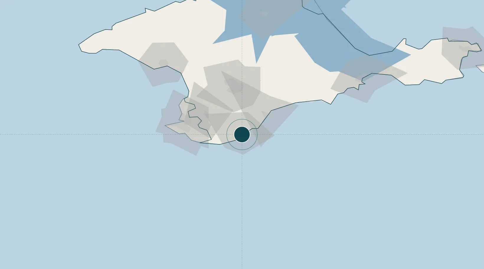
Location
Nearby Logistics Neighbours
Ports
- 1Sevastopol52 km
- 2Yevpatoriya101 km
- 3Feodosiya116 km
- 4Skadovs'k205 km
- 5Kerch206 km
Cities
- 1Bakhchysarai39 km
- 2Dzhankoy138 km
- 3Armyansk184 km
- 4Skadovsk205 km
- 5Krasne211 km
Airports
DatabookThe Record of Consolidated Knowledge
Ukraine beyond logistics?