Channel & Berth Profile
Pilotage, Tugs & Services
Pilotage compulsoryYES
Potable waterYES
MedicalYES
Facilities & Capabilities
Container—
Ro-Ro—
Liquid bulk—
Dry bulk—
Oil terminal—
Break bulk—
Dry dock—
Repairs—
Bunkering—
Rail link—
Dangerous cargo—
ISPS security—
Harbour Specifications
Harbour size
Very Small
Harbour type
Coastal (Breakwater)
Shelter
Fair
Water body
Black Sea; North Atlantic Ocean
Pilotage
Yes
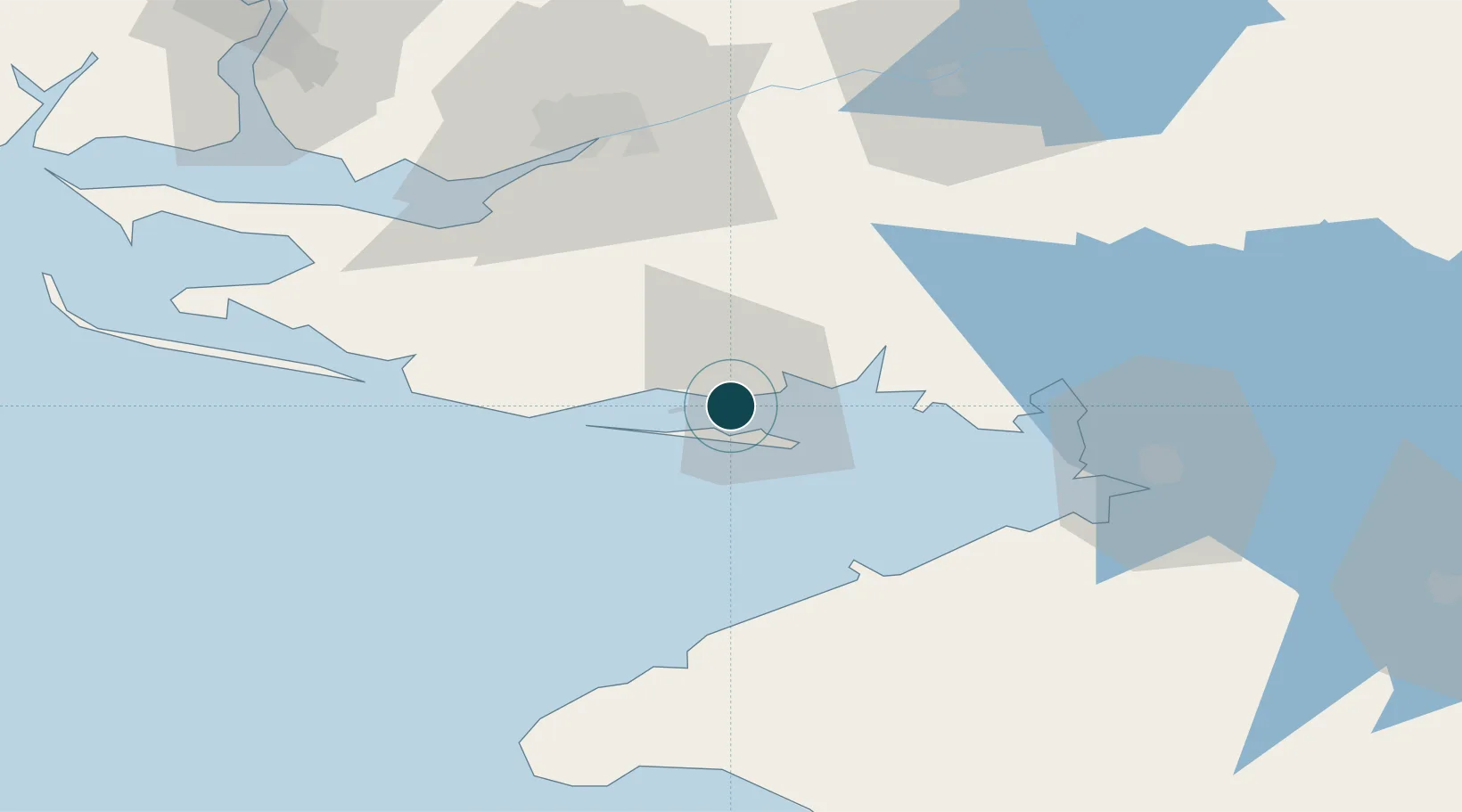
Location
Nearby Logistics Neighbours
Ports
- 1Kherson62 km
- 2Yevpatoriya106 km
- 3Port Oktyabrsk111 km
- 4Mykolayiv119 km
- 5Yuzhnyy156 km
Cities
- 1Krasne10 km
- 2Armyansk58 km
- 3Tsyurupyns'k58 km
- 4Kherson62 km
- 5Chernobayevka71 km
Airports
- 1Kherson International Airport71 km
- 2Saky Air Base124 km
- 3Dzhankoy Air Base124 km
- 4Oktyabrskoe Air Base126 km
- 5Mykolaiv International Airport131 km
DatabookThe Record of Consolidated Knowledge
Ukraine beyond logistics?