Transport Functions
Port
Road
Hub Profile
Place type
Provincial seat
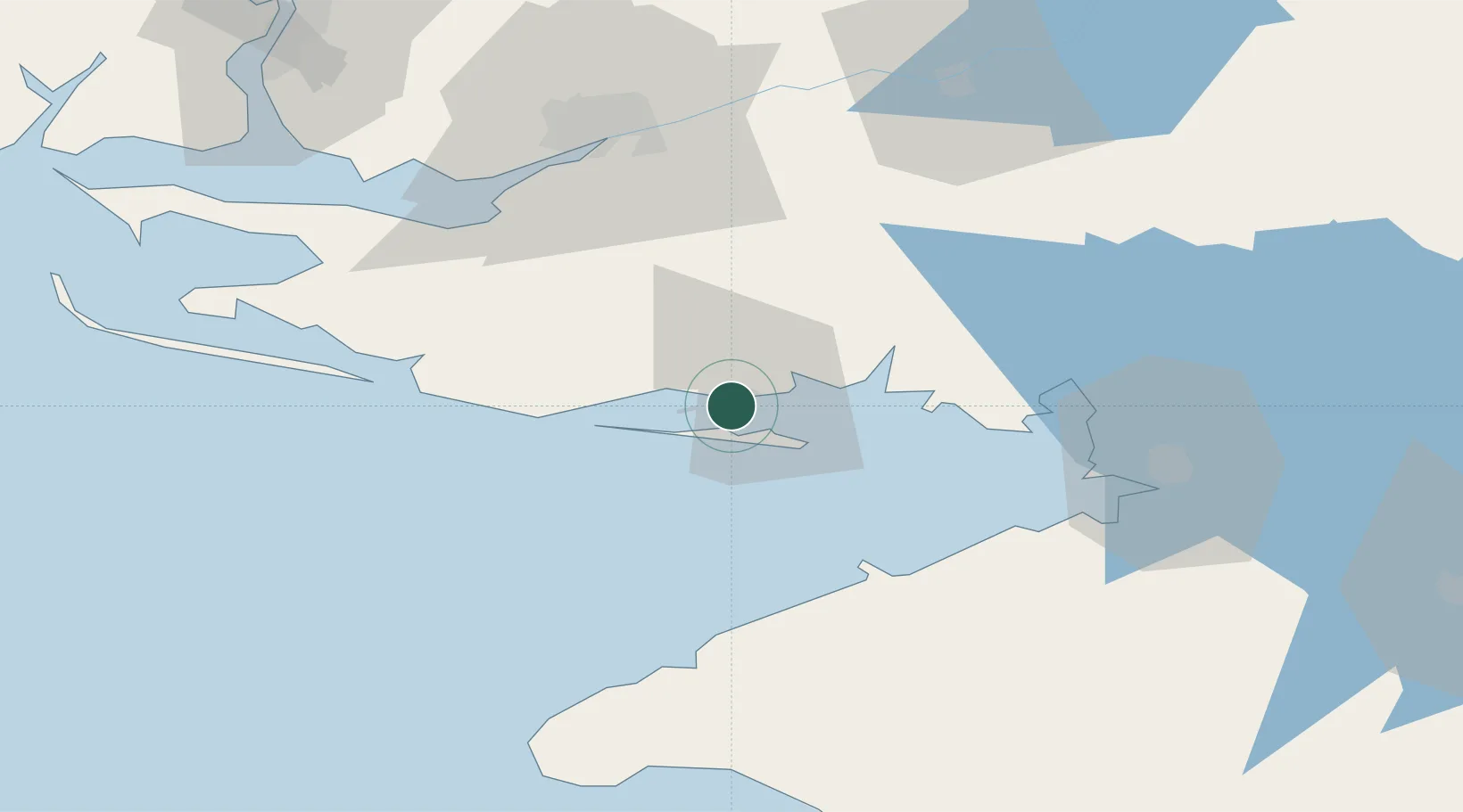
Region
Kherson
Population
17,915
Time zone
Europe/Kyiv
Elevation
5 m
Location
Nearby Logistics Neighbours
Cities
- 1Krasne9 km
- 2Tsyurupyns'k58 km
- 3Armyansk59 km
- 4Kherson61 km
- 5Chernobayevka70 km
Ports
- 1Kherson62 km
- 2Yevpatoriya107 km
- 3Port Oktyabrsk110 km
- 4Mykolayiv118 km
- 5Yuzhnyy155 km
Airports
- 1Kherson International Airport71 km
- 2Saky Air Base125 km
- 3Dzhankoy Air Base126 km
- 4Oktyabrskoe Air Base127 km
- 5Mykolaiv International Airport130 km
DatabookThe Record of Consolidated Knowledge
Ukraine beyond logistics?