Transport Functions
Rail
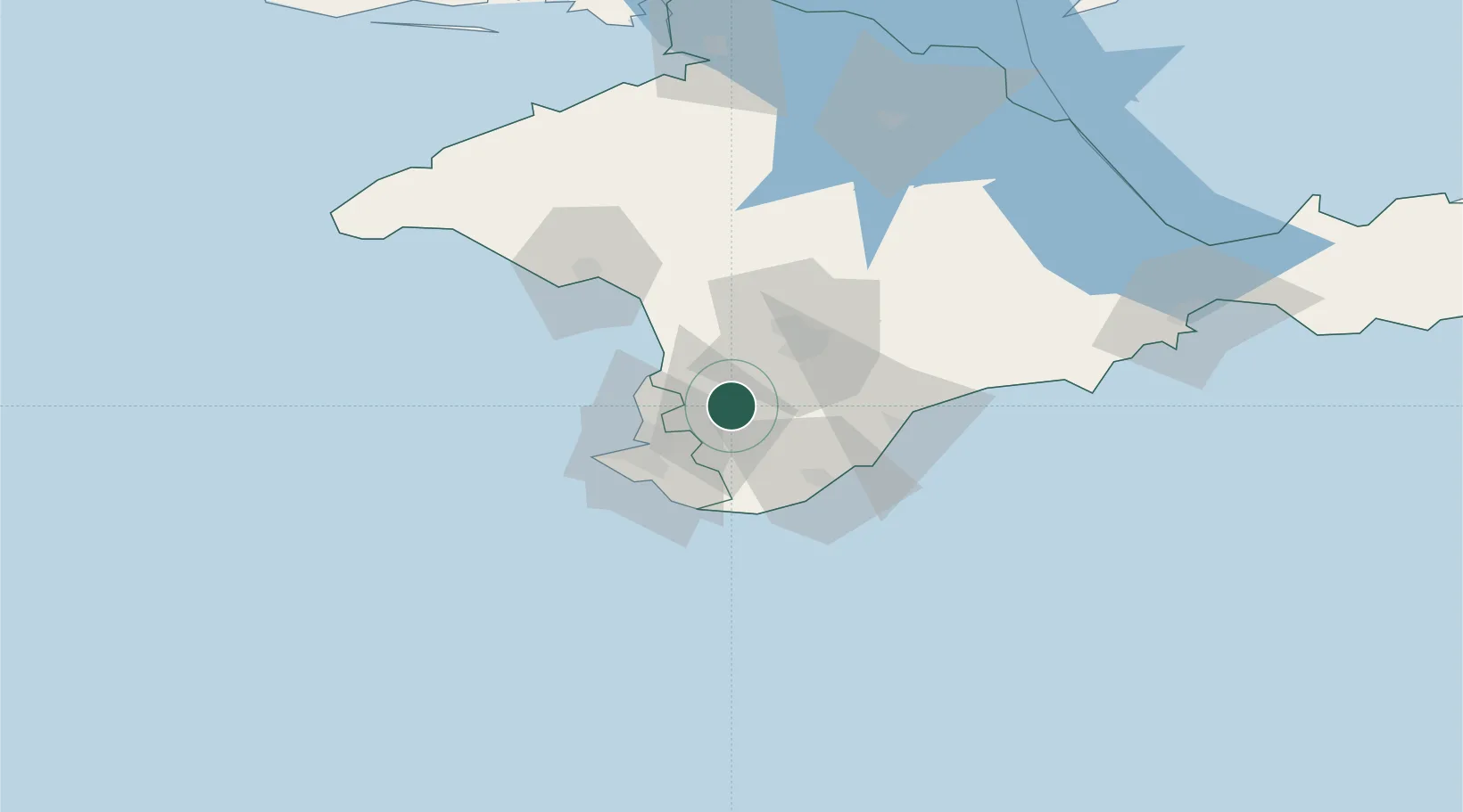
Hub Profile
Place type
Provincial seat
Region
Crimea
Population
27,448
Time zone
Europe/Simferopol
Elevation
173 m
Location
Nearby Logistics Neighbours
Cities
- 1Dzhankoy115 km
- 2Armyansk151 km
- 3Skadovsk167 km
- 4Krasne173 km
- 5Tsyurupyns'k224 km
Ports
- 1Sevastopol29 km
- 2Yalta39 km
- 3Yevpatoriya62 km
- 4Feodosiya128 km
- 5Skadovs'k167 km
Airports
DatabookThe Record of Consolidated Knowledge
Ukraine beyond logistics?