Runway & Layout

Airport Specifications
ICAO code
UKFG
Airport class
Medium airport
Scheduled service
No
Served city
Hvardiiske
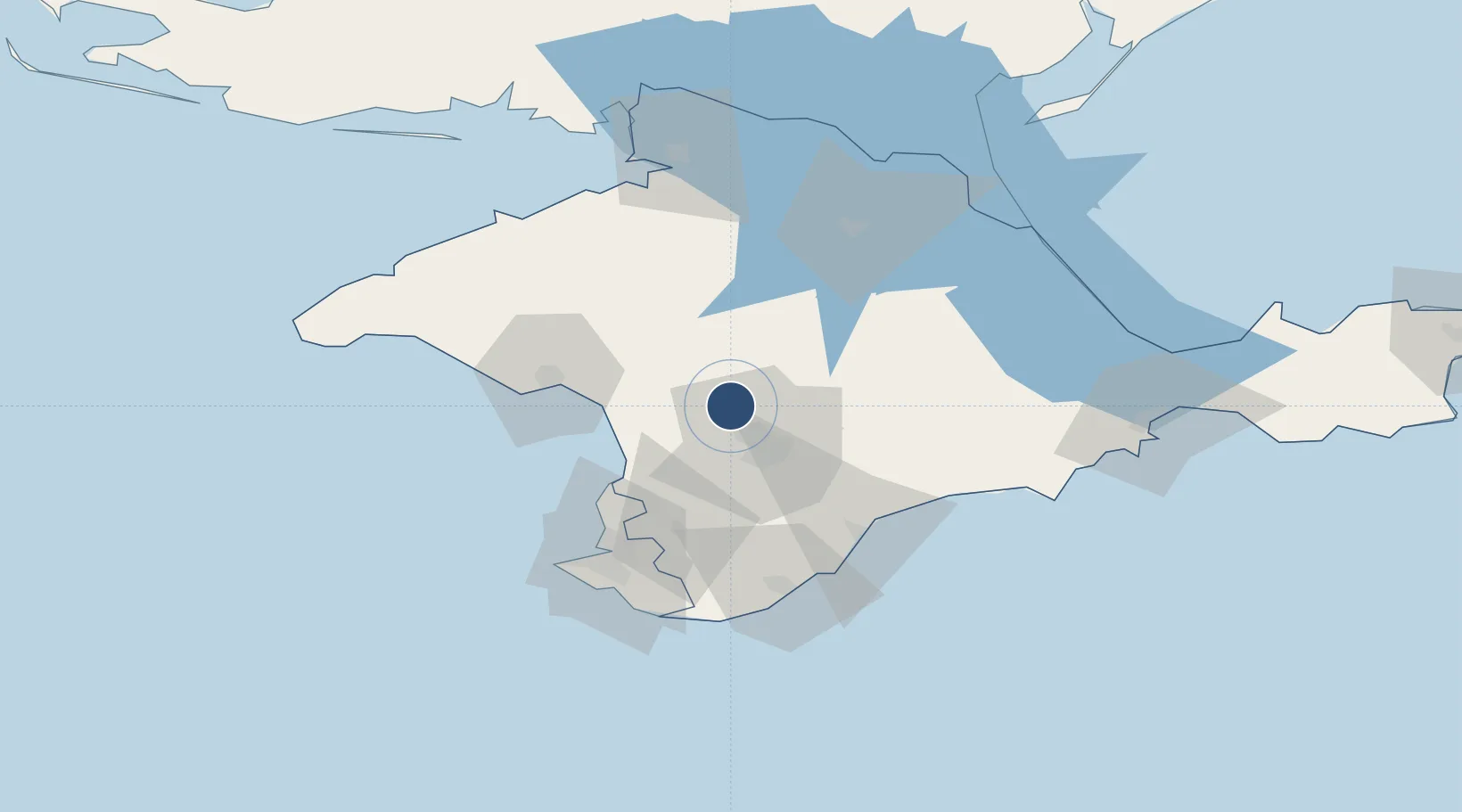
Location
Nearby Logistics Neighbours
Airports
Cities
- 1Bakhchysarai42 km
- 2Dzhankoy74 km
- 3Armyansk112 km
- 4Skadovsk138 km
- 5Krasne145 km
Ports
- 1Yevpatoriya47 km
- 2Sevastopol66 km
- 3Yalta72 km
- 4Feodosiya115 km
- 5Skadovs'k137 km
DatabookThe Record of Consolidated Knowledge
Ukraine beyond logistics?