Medium airport · Ukraine

Sevastopol International Airport / Belbek Air BaseUKFB
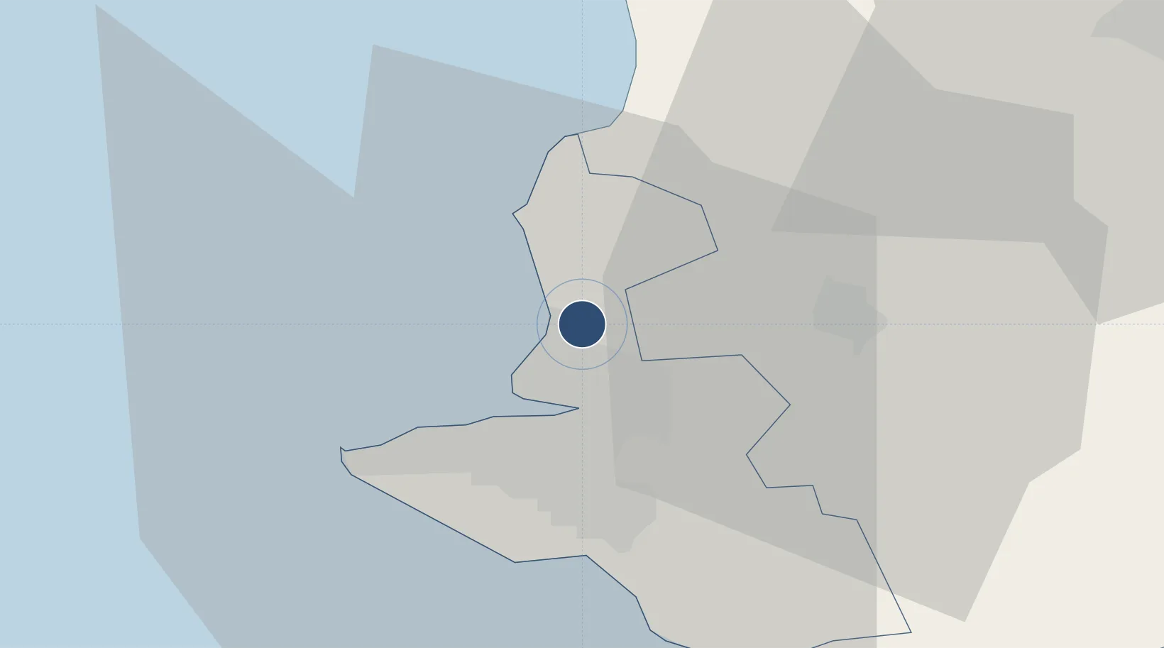
44.6918°, 33.5746°
344 ft
Elevation

Runway & Layout

Sevastopol International Airport / Belbek Air Base runway & taxiway layout
Runway & taxiway layout — OpenStreetMap (ODbL) / OurAirports

Airport Specifications

IATA code
UKS
OurAirports
ICAO code
UKFB
OurAirports
Airport class
Medium airport
OurAirports
Scheduled service
No
OurAirports
Served city
Sevastopol
OurAirports

Location

Location of UKFB
Natural Earth 10m (public domain) · Sevastopol · UKFB · 44.69, 33.57GoogleOSMYandex

Nearby Logistics Neighbours

Airports
  1. 1Kacha Air Base10 km
  2. 2Saky Air Base44 km
  3. 3Simferopol International Airport51 km
  4. 4Gvardeyskoye (Hvardiiske) Air Base57 km
  5. 5Oktyabrskoe Air Base81 km
Nearest neighbours — logibook spatial index (haversine) over the source coordinates
Cities
  1. 1Bakhchysarai23 km
  2. 2Dzhankoy130 km
  3. 3Armyansk157 km
  4. 4Skadovsk165 km
  5. 5Krasne170 km
Nearest neighbours — logibook spatial index (haversine) over the source coordinates
Ports
  1. 1Sevastopol9 km
  2. 2Yalta52 km
  3. 3Yevpatoriya59 km
  4. 4Feodosiya151 km
  5. 5Skadovs'k165 km
Nearest neighbours — logibook spatial index (haversine) over the source coordinates
DatabookThe Record of Consolidated Knowledge
Ukraine beyond logistics?
Browse databook

All Sources

AirportsOurAirports
Public domain
Portsthe NGA World Port Index
Public domain (US gov)
LocationsUN/LOCODE
UN/LOCODE — free
Trade Zonesthe World Bank SEZ database
CC BY 4.0
Trade ZonesOpen Zone Map
CC BY
InfrastructureOpenStreetMap
ODbL 1.0
← Ukraine airports