Large airport · Ukraine

Simferopol International AirportUKFF
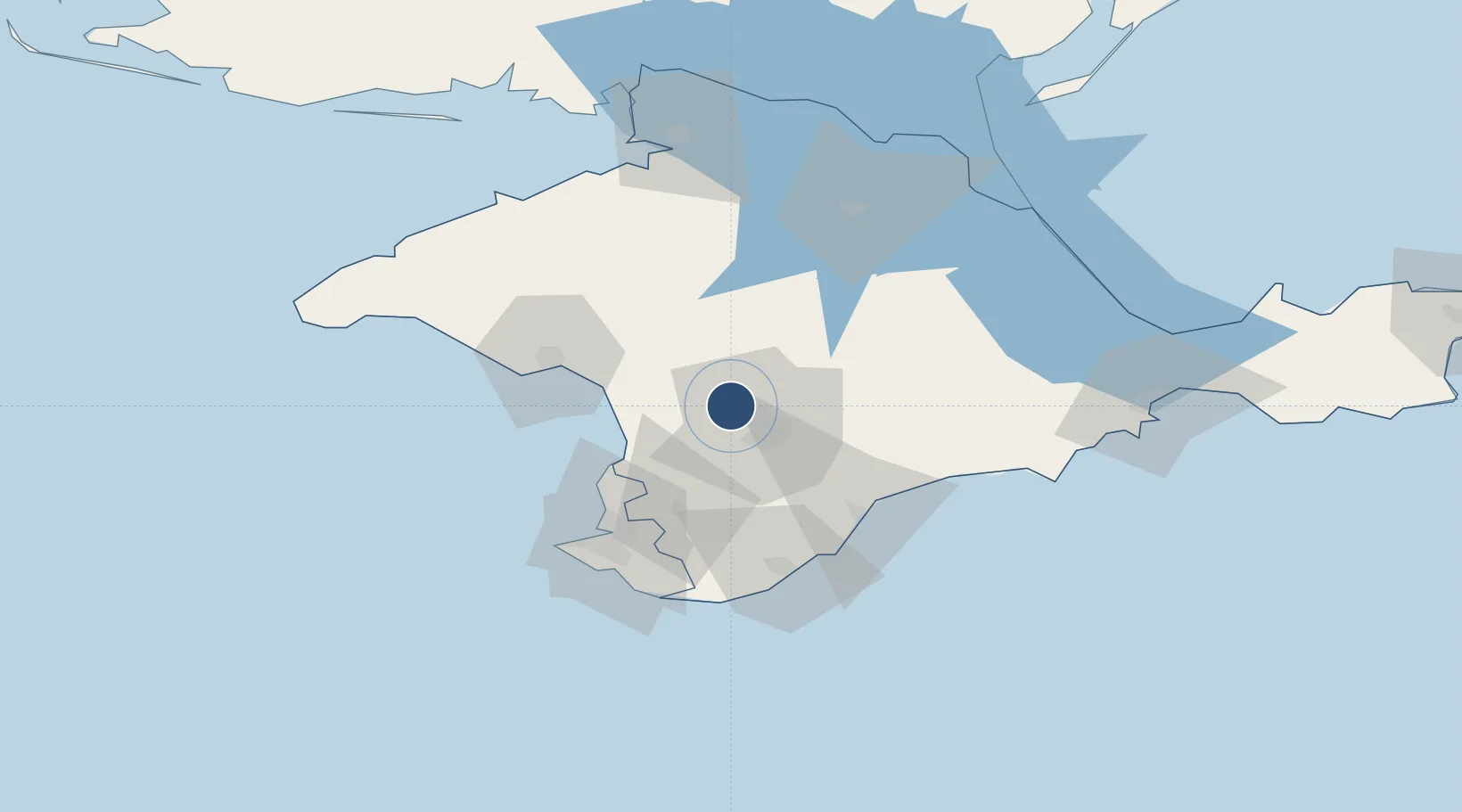
45.0522°, 33.9751°
12,142 ft
Longest runway
2
Runways
639 ft
Elevation

Runway & Layout

Simferopol International Airport runway & taxiway layout
Runway & taxiway layout — OpenStreetMap (ODbL) / OurAirports

Radio Frequencies

ATIS
127.2 MHz
TWR
120.8 MHz
GND
119 MHz
APP
124.7 MHz
RADAR
OPS
131.625 MHz
OurAirports

Navaids

SMF VOR-DME Simferopol 116.60 MHz
OurAirports

Runways · 2

RunwayDimensions SurfaceTrue headingLit
01L/19R 12,142 × 197ft Concrete 013°
01/19 Unknown
OurAirports

Airport Specifications

IATA code
SIP
OurAirports
ICAO code
UKFF
OurAirports
Airport class
Large airport
OurAirports
Scheduled service
Yes
OurAirports
Runway surface
Concrete
OurAirports
Served city
Simferopol
OurAirports

Location

Location of UKFF
Natural Earth 10m (public domain) · Crimea · UKFF · 45.05, 33.98GoogleOSMYandex

Nearby Logistics Neighbours

Airports
  1. 1Gvardeyskoye (Hvardiiske) Air Base7 km
  2. 2Saky Air Base30 km
  3. 3Oktyabrskoe Air Base31 km
  4. 4Kacha Air Base44 km
  5. 5Sevastopol International Airport / Belbek Air Base51 km
Nearest neighbours — logibook spatial index (haversine) over the source coordinates
Cities
  1. 1Bakhchysarai35 km
  2. 2Dzhankoy81 km
  3. 3Armyansk119 km
  4. 4Skadovsk143 km
  5. 5Krasne150 km
Nearest neighbours — logibook spatial index (haversine) over the source coordinates
Ports
  1. 1Yevpatoriya49 km
  2. 2Sevastopol60 km
  3. 3Yalta65 km
  4. 4Feodosiya115 km
  5. 5Skadovs'k143 km
Nearest neighbours — logibook spatial index (haversine) over the source coordinates
Trade Zones
  1. 1Free Economic Zone of the Republic of Crimea and the Federal City of Sevastopol132 km
  2. 2Special Economic Zone Nikolaev (Mykolaiv)263 km
  3. 3Porto Franco Special Economic Zone297 km
  4. 4Free Zone Sulina343 km
  5. 5Azov Economic Zone359 km
Nearest neighbours — logibook spatial index (haversine) over the source coordinates
DatabookThe Record of Consolidated Knowledge
Ukraine beyond logistics?
Browse databook

All Sources

AirportsOurAirports
Public domain
Portsthe NGA World Port Index
Public domain (US gov)
LocationsUN/LOCODE
UN/LOCODE — free
Trade Zonesthe World Bank SEZ database
CC BY 4.0
Trade ZonesOpen Zone Map
CC BY
InfrastructureOpenStreetMap
ODbL 1.0
← Ukraine airports