Channel & Berth Profile
Pilotage, Tugs & Services
Pilotage compulsoryYES
Pilotage availableYES
Tug assistanceYES
Potable waterYES
MedicalYES
Garbage disposalYES
Facilities & Capabilities
Container—
Ro-Ro—
Liquid bulk—
Dry bulk—
Oil terminal—
Break bulk—
Dry dock—
Repairs—
Bunkering—
Rail link—
Dangerous cargo—
ISPS security—
Harbour Specifications
Harbour size
Very Small
Harbour type
Coastal (Natural)
Shelter
Fair
Water body
Black Sea; North Atlantic Ocean
Pilotage
Yes
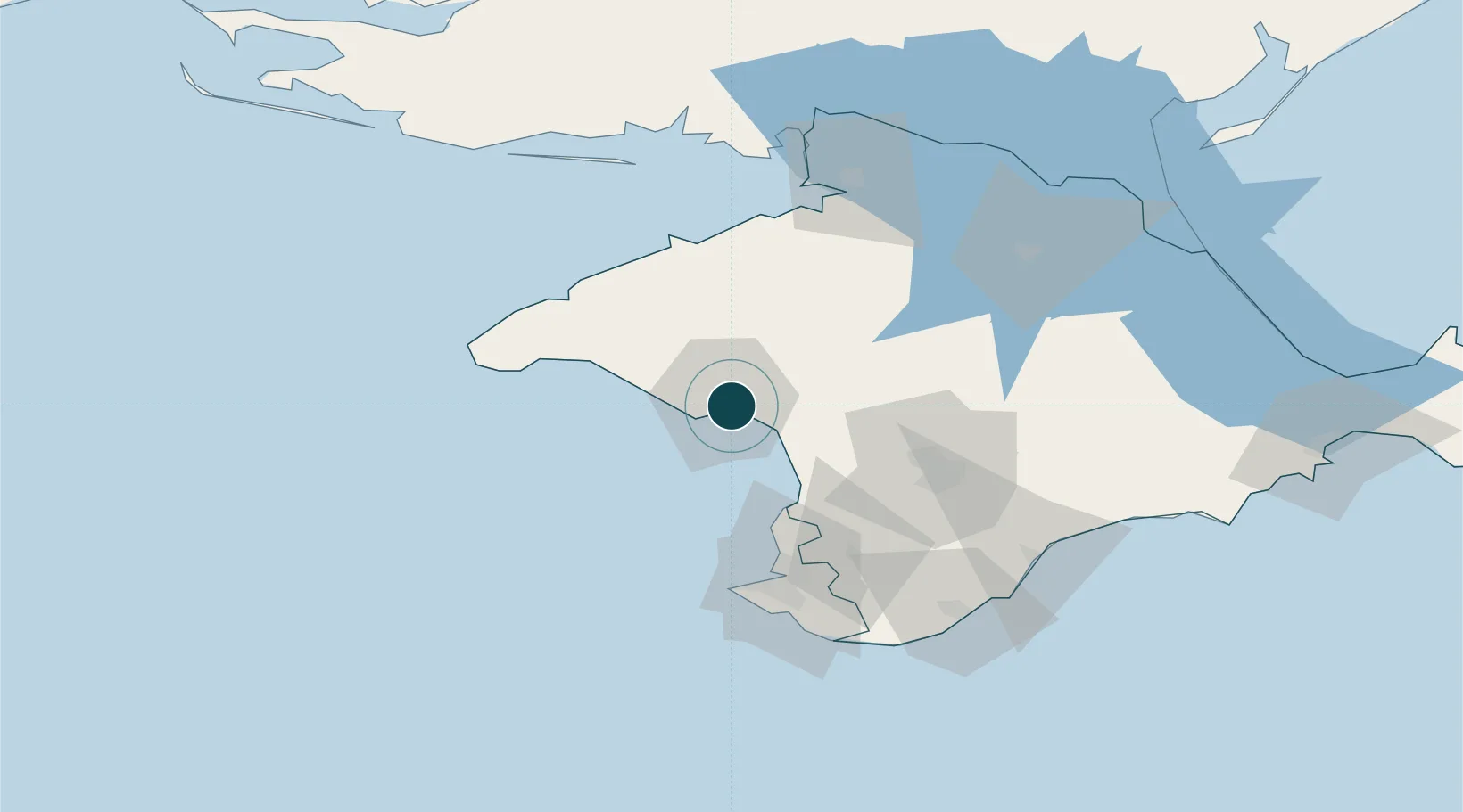
Location
Nearby Logistics Neighbours
Ports
- 1Sevastopol66 km
- 2Yalta101 km
- 3Skadovs'k106 km
- 4Feodosiya162 km
- 5Kherson169 km
Cities
- 1Bakhchysarai62 km
- 2Dzhankoy97 km
- 3Armyansk103 km
- 4Skadovsk107 km
- 5Krasne112 km
Airports
- 1Saky Air Base21 km
- 2Gvardeyskoye (Hvardiiske) Air Base47 km
- 3Kacha Air Base49 km
- 4Simferopol International Airport49 km
- 5Oktyabrskoe Air Base58 km
DatabookThe Record of Consolidated Knowledge
Ukraine beyond logistics?