Free Trade Zone · Türkiye

Samsun Free Zone Active
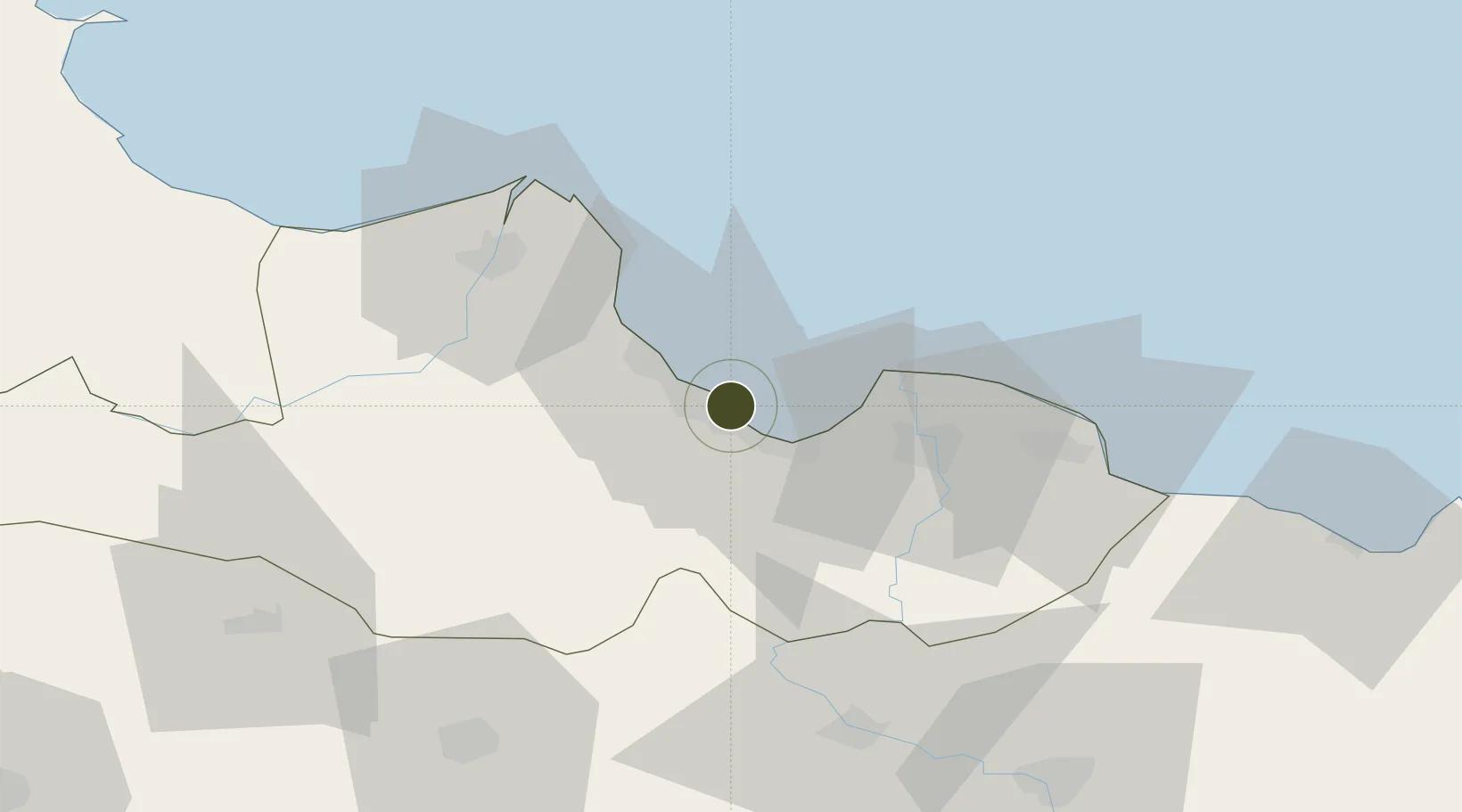
41.3086°, 36.3368°
7 ha
Zone area
1.5 km
Nearest port
20.2 km
Nearest airport

Gateway access

Nearest neighbours — logibook spatial index (haversine) over the source coordinates

Zone profile

Zone type
Free Trade Zone
Open Zone Map
Region
Samsun
Open Zone Map
Status
Active
Open Zone Map
Management
Public-Private Partnership
Open Zone Map
Operator
Samsun Free Zone Founder and Operator Inc.
Open Zone Map
Legal framework
Free Zones Law: Law Nr. 3218 Approved: June 6, 1985
Open Zone Map

Location

Location of ozm-4555
Natural Earth 10m (public domain) · Samsun · ozm-4555 · 41.31, 36.34GoogleOSMYandex

Nearby Logistics Neighbours

Ports
  1. 1Samsun2 km
  2. 2Sinop127 km
  3. 3Ordu134 km
  4. 4Giresun178 km
  5. 5Inebolu226 km
Nearest neighbours — logibook spatial index (haversine) over the source coordinates
Airports
  1. 1Samsun-Çarşamba Airport20 km
  2. 2Amasya Merzifon Airport87 km
  3. 3Tokat Airport110 km
  4. 4Sinop Airport131 km
  5. 5Ordu–Giresun Airport151 km
Nearest neighbours — logibook spatial index (haversine) over the source coordinates
Cities
  1. 1Samsun1 km
  2. 2Gerze38 km
  3. 3Büyükçukur41 km
  4. 4Aydinlik Koy78 km
  5. 5Ünye82 km
Nearest neighbours — logibook spatial index (haversine) over the source coordinates
Trade Zones
  1. 1Samsun Merkez Organized Industrial Zone12 km
  2. 2Amasya Merzifon Organized Industrial Zone89 km
  3. 3Tokat Merkez Organized Industrial Zone110 km
  4. 4Corum Organized Industrial Zone154 km
  5. 5Sivas Merkez I.Organized Industrial Zone180 km
Nearest neighbours — logibook spatial index (haversine) over the source coordinates
DatabookThe Record of Consolidated Knowledge
Türkiye beyond logistics?
Browse databook

All Sources

Trade ZonesOpen Zone Map
CC BY
Portsthe NGA World Port Index
Public domain (US gov)
AirportsOurAirports
Public domain
LocationsUN/LOCODE
UN/LOCODE — free
← Türkiye trade zones