Channel & Berth Profile
Pilotage, Tugs & Services
Pilotage compulsoryYES
Pilotage availableYES
Tug assistanceYES
Potable waterYES
Diesel bunkersYES
MedicalYES
Garbage disposalYES
Facilities & Capabilities
Container—
Ro-Ro—
Liquid bulk—
Dry bulk—
Oil terminal—
Break bulk—
Dry dockNO
RepairsNO
BunkeringYES
Rail linkYES
Dangerous cargo—
ISPS security—
Harbour Specifications
Harbour size
Large
Harbour type
Coastal (Natural)
Shelter
Good
Water body
Black Sea; North Atlantic Ocean
Tidal range
1 m
Pilotage
Yes
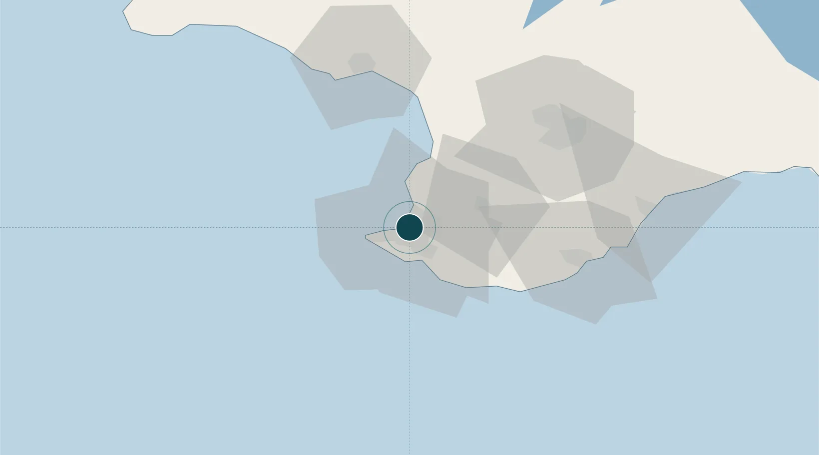
Location
Nearby Logistics Neighbours
Ports
- 1Yalta52 km
- 2Yevpatoriya66 km
- 3Feodosiya156 km
- 4Skadovs'k172 km
- 5Kherson234 km
Cities
- 1Bakhchysarai29 km
- 2Dzhankoy139 km
- 3Armyansk165 km
- 4Skadovsk172 km
- 5Krasne177 km
Airports
DatabookThe Record of Consolidated Knowledge
Ukraine beyond logistics?