Transport Functions
Multimodal
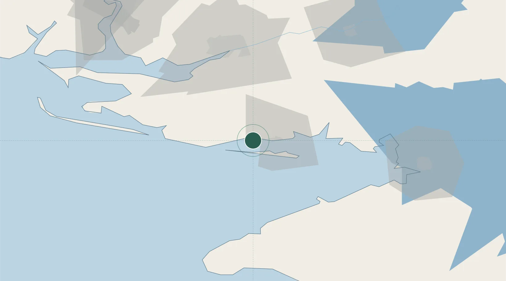
Hub Profile
Place type
Populated place
Region
Kherson
Population
2,898
Time zone
Europe/Kyiv
Elevation
4 m
Location
Nearby Logistics Neighbours
Cities
- 1Skadovsk9 km
- 2Tsyurupyns'k54 km
- 3Kherson57 km
- 4Chernobayevka66 km
- 5Armyansk68 km
Ports
- 1Skadovs'k10 km
- 2Kherson57 km
- 3Port Oktyabrsk103 km
- 4Mykolayiv111 km
- 5Yevpatoriya112 km
Airports
- 1Kherson International Airport66 km
- 2Mykolaiv International Airport124 km
- 3Saky Air Base131 km
- 4Dzhankoy Air Base135 km
- 5Oktyabrskoe Air Base135 km
DatabookThe Record of Consolidated Knowledge
Ukraine beyond logistics?