Large airport · Türkiye

Milas Bodrum International AirportLTFE
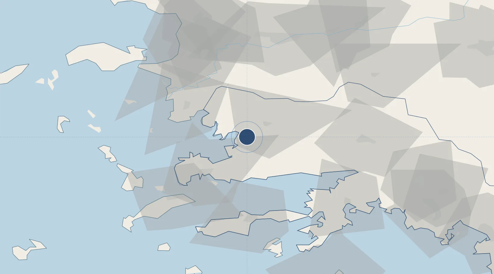
37.2493°, 27.6640°
9,843 ft
Longest runway
2
Runways
21 ft
Elevation

Runway & Layout

Milas Bodrum International Airport runway & taxiway layout
Runway & taxiway layout — OpenStreetMap (ODbL) / OurAirports

Radio Frequencies

ATIS
128.5 MHz
TWR
120.5 MHz
GND
121.95 MHz
APP
119.5 MHz
MENDERES APP
APP
119.775 MHz
MENDERES APP
OurAirports

Navaids

BDR VOR-DME Milas Bodrum 116.70 MHz
BDR NDB Milas Bodrum 389 kHz
GML VOR-DME Kiyikislacik 113.90 MHz
OurAirports

Runways · 2

RunwayDimensions SurfaceTrue headingLit
10L/28R 9,843 × 148ft Concrete 104°
10R/28L 9,646 × 148ft Concrete
OurAirports

Airport Specifications

IATA code
BJV
OurAirports
ICAO code
LTFE
OurAirports
Airport class
Large airport
OurAirports
Scheduled service
Yes
OurAirports
Runway surface
Concrete
OurAirports
Served city
Bodrum
OurAirports

Location

Location of LTFE
Natural Earth 10m (public domain) · Mugla · LTFE · 37.25, 27.66GoogleOSMYandex

Nearby Logistics Neighbours

Airports
  1. 1Kalymnos Airport72 km
  2. 2Kos International Airport "Ippokratis"72 km
  3. 3Leros Airport77 km
  4. 4Samos Airport83 km
  5. 5Rhodes International Airport "Diagoras"101 km
Nearest neighbours — logibook spatial index (haversine) over the source coordinates
Cities
  1. 1Güllük6 km
  2. 2Bodrum33 km
  3. 3Farmakonissi Dodekanissos52 km
  4. 4Datça56 km
  5. 5Kos56 km
Nearest neighbours — logibook spatial index (haversine) over the source coordinates
Ports
  1. 1Gulluk4 km
  2. 2Bodrum32 km
  3. 3Limin Kos52 km
  4. 4Kalimnos69 km
  5. 5Marmaris71 km
Nearest neighbours — logibook spatial index (haversine) over the source coordinates
Trade Zones
  1. 1Tire Organized Industrial Zone97 km
  2. 2Aegean Free Zone130 km
  3. 3Izmir Ataturk Organized Industrial Zone149 km
  4. 4Salihli Organized Industrial Zone152 km
  5. 5Manisa Organized Industrial Zone154 km
Nearest neighbours — logibook spatial index (haversine) over the source coordinates
DatabookThe Record of Consolidated Knowledge
Türkiye beyond logistics?
Browse databook

All Sources

AirportsOurAirports
Public domain
Portsthe NGA World Port Index
Public domain (US gov)
LocationsUN/LOCODE
UN/LOCODE — free
Trade Zonesthe World Bank SEZ database
CC BY 4.0
Trade ZonesOpen Zone Map
CC BY
InfrastructureOpenStreetMap
ODbL 1.0
← Türkiye airports