Transport Functions
Port
Road
Hub Profile
Place type
Provincial seat
Region
Aydın
Population
63,177
Time zone
Europe/Istanbul
Elevation
9 m
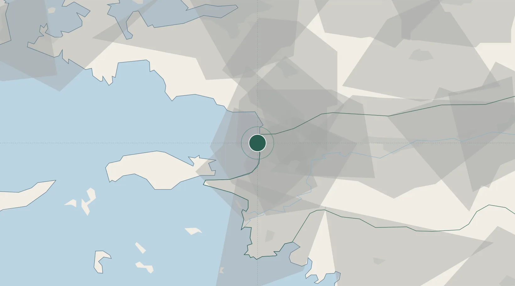
Location
Nearby Logistics Neighbours
Cities
- 1Port Vathý (Vathý)26 km
- 2Pythagóreion31 km
- 3Néon Karlovásion50 km
- 4Agathonisi51 km
- 5Marathokampos Samou51 km
Ports
- 1Samos27 km
- 2Pithagorion32 km
- 3Neon Karlovas50 km
- 4Izmir66 km
- 5Gulluk74 km
Airports
- 1Samos Airport35 km
- 2Adnan Menderes International Airport50 km
- 3Milas Bodrum International Airport76 km
- 4Çiğli Airbase77 km
- 5Ikaria Airport82 km
Trade Zones
DatabookThe Record of Consolidated Knowledge
Türkiye beyond logistics?