UN/LOCODE hub · Greece
GRKAR
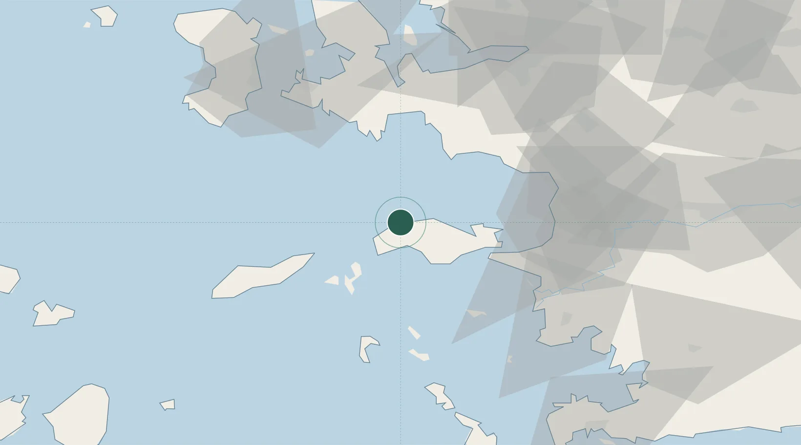
Néon Karlovásion
37.8000°, 26.6833°
6,708
Population
1
Transport functions
Transport Functions
Port
Hub Profile
Place type
Populated place
Region
North Aegean
Population
6,708
Time zone
Europe/Athens
Elevation
24 m
Location
Nearby Logistics Neighbours
Cities
- 1Marathokampos Samou11 km
- 2Pythagóreion26 km
- 3Port Vathý (Vathý)27 km
- 4Thymaina Island32 km
- 5Foúrnoi37 km
Ports
- 1Samos26 km
- 2Pithagorion27 km
- 3Kusadasi50 km
- 4Lakki76 km
- 5Khios79 km
Airports
- 1Samos Airport24 km
- 2Ikaria Airport32 km
- 3Adnan Menderes International Airport69 km
- 4Leros Airport69 km
- 5Chios Island National Airport77 km
Trade Zones
DatabookThe Record of Consolidated Knowledge
Greece beyond logistics?