UN/LOCODE hub · Greece
GRPYT

Pythagóreion

37.7000°, 26.9500°
1
Transport functions

Transport Functions

Port
Pythagóreion is also a profiled seaport →
UN/LOCODE

Hub Profile

Region
84
GeoNames

Location

Location of GRPYT
Natural Earth 10m (public domain) · 84 · GRPYT · 37.70, 26.95GoogleOSMYandex

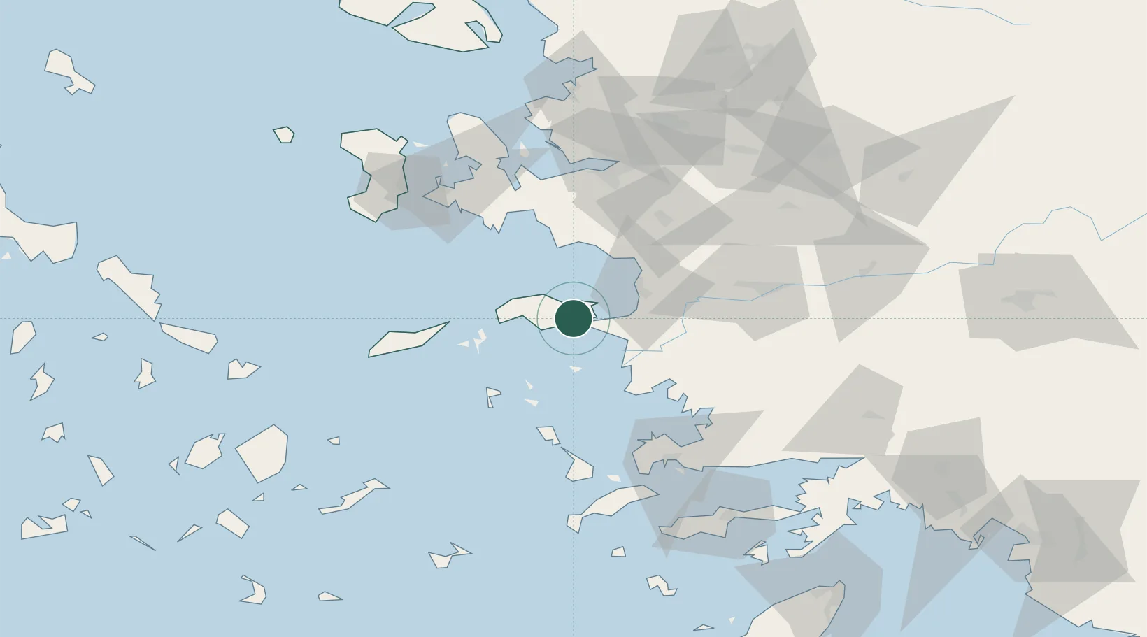
Nearby Logistics Neighbours

Cities
  1. 1Port Vathý (Vathý)6 km
  2. 2Marathokampos Samou22 km
  3. 3Néon Karlovásion26 km
  4. 4Agathonisi28 km
  5. 5Kusadasi31 km
Nearest neighbours — logibook spatial index (haversine) over the source coordinates
Ports
  1. 1Samos6 km
  2. 2Neon Karlovas26 km
  3. 3Kusadasi32 km
  4. 4Lakki64 km
  5. 5Gulluk77 km
Nearest neighbours — logibook spatial index (haversine) over the source coordinates
Airports
  1. 1Samos Airport4 km
  2. 2Ikaria Airport53 km
  3. 3Leros Airport59 km
  4. 4Adnan Menderes International Airport68 km
  5. 5Milas Bodrum International Airport81 km
Nearest neighbours — logibook spatial index (haversine) over the source coordinates
Trade Zones
  1. 1Aegean Free Zone73 km
  2. 2Tire Organized Industrial Zone81 km
  3. 3Izmir Ataturk Organized Industrial Zone88 km
  4. 4Izmir Free Zone102 km
  5. 5Manisa Organized Industrial Zone108 km
Nearest neighbours — logibook spatial index (haversine) over the source coordinates
DatabookThe Record of Consolidated Knowledge
Greece beyond logistics?
Browse databook

All Sources

LocationsUN/LOCODE
UN/LOCODE — free
Portsthe NGA World Port Index
Public domain (US gov)
AirportsOurAirports
Public domain
Trade Zonesthe World Bank SEZ database
CC BY 4.0
Trade ZonesOpen Zone Map
CC BY
← Greece locations